Crossed Tracks, Racetrack Playa. Death Valley National Park, California. April 2, 2007. © Copyright 2007 G Dan Mitchell – all rights reserved.
The tracks of the famous “moving rocks” of the Racetrack Playa cross in evening light.
This was an absolutely beautiful evening on the playa, with wonderful light and interesting clouds. I was impressed by these long and straight moving rock trails that crossed and were heading in nearly opposite directions.
There is at least one believable theory about how the rocks moved. (No, not the one involving alien landings… ) It goes sort of like this: A playa like this one is formed by, believe it or not, flooding. During occasional wet seasons, the water washes down from the surrounding hills and fills the playa with silt and few inches of water. The original theory suggested that this was enough – that strong winds would be enough to move the rocks across the slick surface of the playa. (The rocks seem to come from a hill at the sound end of the playa.)
There is a problem with this notion. While the Racetrack is a very windy place, and the winds might be strong enough to move small rocks, someone calculated that in order to move the largest rocks the winds would have to be in the range of several hundred mph! The playa is windy, but no that windy!
Then someone realized that, counterintuitive though it may be, it can get cold enough on the playa to freeze the surface of water collected there. If the rocks were to become locked in the surface ice, the winds could act on the area of the ice surface much as they do on arctic ice packs. As the ice moves it might drag the rocks along, and if sections of the playa were frozen or if the ice broke up groups of rocks might be moved in the same manner. A further “refinement” of the theory suggests that if the surface froze as the water level was rising that rocks locked in the ice might even be slightly lifted, making it easier for them to move.
This seems reasonable given some of the visible evidence. In places groups of several rocks that are somewhat close together have left parallel curving tracks – the explanation is that they were locked together in a section of the ice that moved them in the same way. It even is consistent with the appearance of strange phenomenon such as these rock tracks that cross at right angles – they would have been moved at different times and under different wind conditions.
I have not read any theories about how often the rocks move. When I first heard about the place many years ago, I think I almost imagined a magical place where rocks were sailing about on the flat surface. Then I visited and I began to imagine that the rocks might only move in wet years – perhaps every decade or so. But with more visits and more thought, it began to seem to me (in my unscientific musings) that the conjunction of conditions required to move the rocks (flooding, freezing, plus high winds) might actually occur very rarely. I now make the assumption that the actual movement of the rocks may be a very rare thing, indeed.
G Dan Mitchell Photography | Flickr | Twitter (follow me) | Facebook (“Like” my page) | LinkedIn | Email
Text, photographs, and other media are © Copyright G Dan Mitchell (or others when indicated) and are not in the public domain and may not be used on websites, blogs, or in other media without advance permission from G Dan Mitchell.


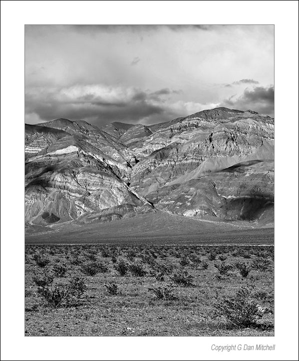
 Panamint Valley Hills. Death Valley National Park. March 28, 2005. © Copyright G Dan Mitchell.