
Tag Archives: valley

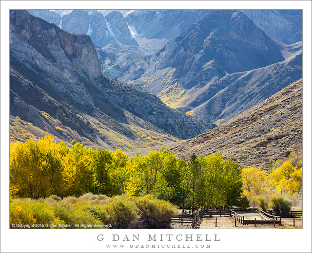
Cottonwood Trees and Redrock Canyon, Autumn

Cottonwood Trees and Redrock Canyon, Autumn
Brilliantly colorful autumn cottonwood foliage winds down a Utah redrock canyon

Cottonwood Trees and Red Rock Canyon, Autumn. Utah. October 26, 2014. © Copyright 2014 G Dan Mitchell – all rights reserved.

Brilliantly colorful autumn cottonwood foliage winds down a Utah red rock canyon

After four days of photography and camping in the far reaches of the Grand Staircase-Escalante National Monument, I came out to civilization and spent a night at Boulder Mountain Lodge. (Not my usual thing, but I had an appointment to meet someone there — and it was quite a fine visit!) Arriving a bit early, I decided to head out on a nearby road just to see what I could see.

I knew this road a bit from traveling it in the past — I was looking forward to red rock cliffs and some cottonwood color. But I was not prepared for the intensity of the autumn cottonwoods in this little canyon. The effect was a combination of arriving at the peak moment of color for these trees, and the fact that the light was slightly softened by some high clouds. The result was one of those colorful scenes that you imagine but rarely actually find, with the tree winding down the canyon and around the far bend.


G Dan Mitchell is a California photographer and visual opportunist. His book, “California’s Fall Color: A Photographer’s Guide to Autumn in the Sierra” is available from Heyday Books and Amazon.
Blog | About | Flickr | Twitter | FacebookGoogle+ | 500px.com | LinkedIn | Email


All media © Copyright G Dan Mitchell and others as indicated. Any use requires advance permission from G Dan Mitchell.
Waterpocket Fold Terrain

Waterpocket Fold Terrain
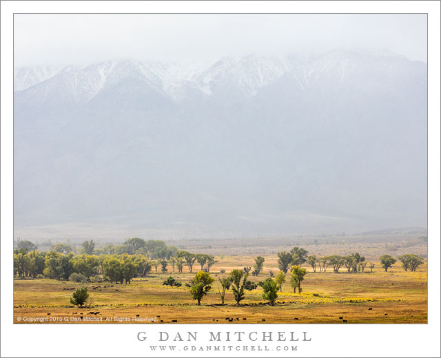
Deep erosion gullies below an uplifted rock band empty into the valley below, with rugged terrain extending into the distance

Waterpocket Fold Terrain. Capitol Reef National Park, Utah. October 22, 2014. © Copyright 2014 G Dan Mitchell – all rights reserved.

Deep erosion gullies below an uplifted rock band empty into the valley below, with rugged terrain extending into the distance

Until a few years ago, although I had heard the term “waterpocket fold” before, I was almost completely unaware of what this geological feature is. Since that time I have visited it several times. On the first occasion I visited the area, but I still did not understand the geology. I “got it” that there was some sort of uplift — the land rising to the west of Capitol Reef was a pretty good clue — but I did not understand or really see any of the connections. I recall stopping at one road side pullout and seeing a sign about it, registering that it is something important, but not really understanding.

On more recent visits the reality of this huge and striking feature has finally sunk in. I began to see it a few years ago on a trip that took we away from main roads and way up on a rocky ridge from which I could look down into the eastern valley and clearly see some of the larger patterns — sinuous lines of angled rock, the valley twisting gently into the distance in the south. On the most recent visit it began to make a lot more sense, as I noticed features like the shadowed cliff band across the center of this photograph, which more or less represents the remaining underside of a layer that long ago continued on up into what today would be the sky. Its edge overhangs the softer material below, though it still erodes into the bottom of the valley. Further to the east in this photograph the impossibly rugged terrain of arid strata continues, eventually rising to a mountain range in the far distance.


G Dan Mitchell is a California photographer and visual opportunist. Blog | About | Flickr | Twitter | FacebookGoogle+ | 500px.com | LinkedIn | Email


All media © Copyright G Dan Mitchell and others as indicated. Any use requires advance permission from G Dan Mitchell.
Eroded Ridge and Valley

Eroded Ridge and Valley
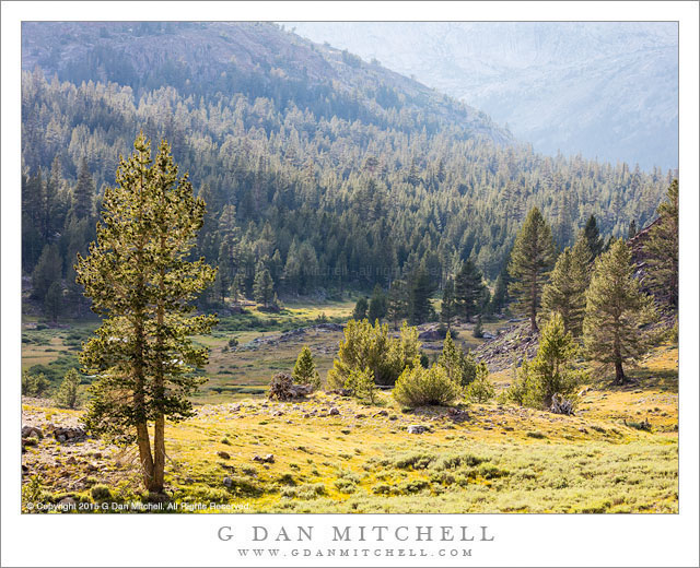
Eroded ridge and valley in the Waterpocket Fold area, Utah

Eroded Ridge and Valley. Capitol Reef National Park, Utah. October 22, 2014. © Copyright 2014 G Dan Mitchell – all rights reserved.

Eroded ridge and valley in the Waterpocket Fold area, Utah

This landscape could hardly be more different from the landscape in yesterday’s photograph. The earlier photograph was of Drake’s Estero, at the Point Reyes National Seashore, made on a day that was almost entirely foggy until a brief interval of filtered sun illuminated the blue waters of the estuary, a bit of green on a peninsula, and distant sky and water. None of those things are found in this photograph.

This landscape from Capitol Reef National Park is austere, arid, and quite rugged. It has a special beauty, but it is not a beauty with soft edges, misty skies, and water. Here the land is laid bare, seeming from a distance to be devoid of plant life. (Once inside this landscape, it turns out to be a bit more alive than it might seem.) Geology and the effects of time are visible in these places with their colored layers of rock, deeply cut valleys, and rugged erosion forms. Here gullies lie below rocky ridges, and two valleys come together in a flat area laced by stream beds.


G Dan Mitchell is a California photographer and visual opportunist. Blog | About | Flickr | Twitter | FacebookGoogle+ | 500px.com | LinkedIn | Email


All media © Copyright G Dan Mitchell and others as indicated. Any use requires advance permission from G Dan Mitchell.
Redrock Country, Near Fruita

Redrock Country, Near Fruita
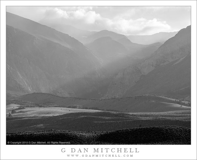
Cliffs and eroded towers near Fruita, Capitol Reef National Park

Redrock Country, Near Fruita. Capitol Reef National Park, Utah. October 20, 2014. © Copyright 2014 G Dan Mitchell – all rights reserved.

Cliffs and eroded towers near Fruita, Capitol Reef National Park

I’m a sucker for juxtapositions of mountains and cliffs, and sunlit and shadowed surfaces. (In fact, “juxtaposition” is a word I think about a lot when making photographs.) This part of the world provides these juxtapositions with a vengeance. Everywhere in the red rock country of the Southwest there are sandstone walls, lined up, building one on top of the other, standing in front of and behind each other, layered with eroded rock and soil, standing above valleys and beyond lower ridges.

We had only a brief time to photograph on this first afternoon in Capitol Reef National Park. I had arrived in the middle of the afternoon and then busied myself with setting up a tent and a few other camp chores, plus catching up on the news with my friend Dave. By the time all of these important things had been taken care of the sun was rapidly dropping toward the horizon, so we quickly headed to a nearby area to see what sort of late-day light we could find. Literally within minutes of leaving our campground (which is just to the right of the shadowed trees visible in the lower part of the photograph) we came upon this intense and saturated late-day light, with shadows starting to stretch across the valley and the low foreground ridges.


G Dan Mitchell is a California photographer and visual opportunist. Blog | About | Flickr | Twitter | FacebookGoogle+ | 500px.com | LinkedIn | Email


All media © Copyright G Dan Mitchell and others as indicated. Any use requires advance permission from G Dan Mitchell.