Tag Archives: trail

Moraine Lake

Moraine Lake
Moraine Lake shoreline in evening, Sequoia National Park

Moraine Lake. Sequoia-Kings Canyon National Parks, California. August 7, 2008. © Copyright 2008 G Dan Mitchell – all rights reserved.

Moraine Lake shoreline in evening, Sequoia National Park

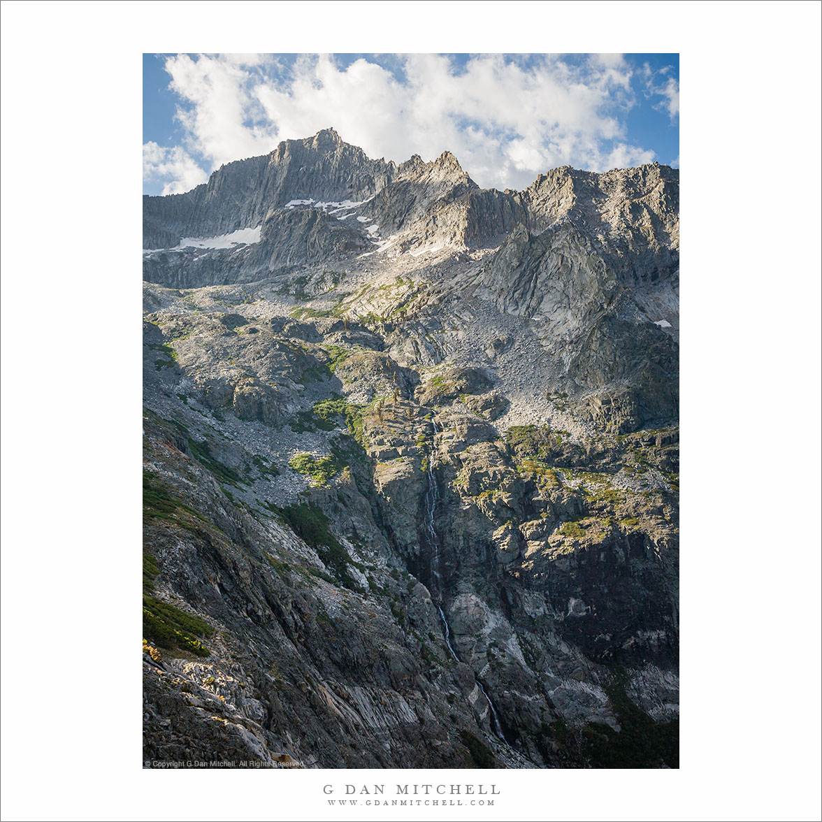
I have only been to this remote lake twice, but as I think back on it now it seems a special place. My two visits were separated by decades. The first was when I was in my twenties and one half of a young couple on our first very long Sierra pack trip, a trip that had us taking two weeks to cross the Sierra from west to east. When I think back to pack trips from so far back, I realize that I have forgotten many details but this lake remains. On the second visit I came here on a trip retracing that earlier trip, though this time with a larger group of friends who had not been here before. It takes me a solid four days of walking to get this place, and the route covers some spectacular country and takes me into and across some very high places.

That route, and the contrast between it and what I found at this lake may account for the special feelings I have for this place. Both times on this route, the first day was a hard one under a heavy, long distance backpack load. The second day is about the same length, but it ends with a moderate climb to a lake. Day three starts right out with a brutal climb up the walls of the cirque above the lake, then crosses a high pass, drops into timberline country, and descends mostly open terrain to a camp where the trees grow thicker. Then on the fourth day things ease up. Much of the trail is though Sierra high country forest, mixed with open views, and then it leaves the main trail and takes a lateral out through more forest to this lake. I recall an expansive area of open forest along the shoreline, a shallow and pretty lake with forest on the other size, and a few peaks in the distance to catch the morning and evening light. From the right spots I could catch my first views of the summit of Mount Whitney, where I would stand a week or more later. And from this second trip I recall a slow and quiet evening with my hiking partners, hanging out in camp and sitting lazily on shoreline logs.


G Dan Mitchell is a California photographer and visual opportunist. His book, “California’s Fall Color: A Photographer’s Guide to Autumn in the Sierra” is available from Heyday Books and Amazon.
Blog | About | Flickr | Twitter | FacebookGoogle+ | 500px.com | LinkedIn | Email


All media © Copyright G Dan Mitchell and others as indicated. Any use requires advance permission from G Dan Mitchell.

The Kaweahs

The Kaweah Range, Kings Canyon-Sequoia National Parks
“The Kaweahs” — Ridge and Waterfall in the Kaweah Range near Kaweah Gap

This photograph comes from the High Sierra Trail, an east-west route across the Sierra between the west slopes of Sequoia National Park and Mount Whitney on the eastern Sierra crest. (Although it is technically not part of the High Sierra Trail, I regard the final ascent to Whitney on a lateral trail and the descent from the crest to Whitney Portal to be part of the route.) The north-south John Muir Trail is better known, and the High Sierra Trail is not as popular — though in many ways it is the same league. It covers an extraordinary route, climbing from the forested and gradually-rising west side slopes up the immense canyon of the Kaweah River, crossing Kaweah Gap in spectacular fashion, and descending Big Arroyo to the grand canyon of the Kern River, which if follows north to Junction Meadow before ascending once again to join the John Muir Trail heading south and then climb to Whitney Trail crest.

The trail up into the Kaweahs is stunning, with remarkably rugged and alpine scenery on the ascent from the west. It is, frankly, as impressive as anything else in the range. This section climbs the cirque above a popular lake destination, rising on a trail that follows an improbably route high into the mountains in the photograph before turning to cross Kaweah Gap after passing through a garden of small meadows and rocky tarns.

G Dan Mitchell is a California photographer and visual opportunist. His book, “California’s Fall Color: A Photographer’s Guide to Autumn in the Sierra” from Heyday Books, is available directly from G Dan Mitchell.

Blog | Bluesky | Mastodon | Substack Notes | Flickr | Email
Articles | Sales | Sierra Nevada Fall Color | Contact Info

All media © Copyright G Dan Mitchell and others as indicated. Any use requires advance permission from G Dan Mitchell.

Granite Cliffs, Alpine Lake

Granite Cliffs, Alpine Lake
Rocks from vertical cliffs line the base of a deep blue alpine lake

Granite Cliffs, Alpine Lake. Sequoia National Park, California. August 6, 2008. © Copyright 2008 G Dan Mitchell – all rights reserved.

Rocks fallen from vertical cliffs line the edges of a deep blue alpine lake

As I write this tonight for posting tomorrow, winter is over and spring is a few hours old. It is perhaps for that reason — the start of spring and the inevitability of summer — that I found myself looking though some old photograph files from a summer about eight years in the past. There is a practical reason to revisit the old files from time to time; I often find photographs that now look pretty interesting that I apparently skipped over originally, for one reason or another. But it is also an opportunity to revisit the older memories as well, since looking at the photographs brings back the recall of many other details of such Sierra trips.

On this trip I crossed the Southern Sierra from west to east with a small group of long-time trail friends. I am not sure why, but I had not been back on this trail in the decades since my first visit — so I was excited to revisit this spectacular route. Today I began tracking the progress of the trip via the old photographs, starting on the first day and looking at photograph up through day three, when we climbed from a beautiful lake to cross the Kaweah Mountains and head east. I came to this photograph, which is a vertical orientation interpretation on a scene in another of my photographs that may be somewhat recognizable. At the time when I made the original print I think I must have committed to the horizontal format and, thus, put the vertical on the back burner. but today I decided that I like this version, too, with a bit less emphasis on the water and a bit more on the vertical thrust of the rocky walls.


G Dan Mitchell is a California photographer and visual opportunist. His book, “California’s Fall Color: A Photographer’s Guide to Autumn in the Sierra” is available from Heyday Books and Amazon.
Blog | About | Flickr | Twitter | FacebookGoogle+ | 500px.com | LinkedIn | Email


All media © Copyright G Dan Mitchell and others as indicated. Any use requires advance permission from G Dan Mitchell.

John Muir Trail, Yosemite

John Muir Trail, Yosemite
The John Muir Trail crosses Cathedral Pass near Cathedral Peak on a late-summer morning

John Muir Trail, Yosemite. Yosemite National Park, California. September 11, 2015. © Copyright 2015 G Dan Mitchell – all rights reserved.

The John Muir Trail crosses Cathedral Pass near Cathedral Peak on a late-summer morning

Late in the season in the Sierra backcountry the population begins to change. During the high season of July through Labor Day, when passes are usually clear of snow and when people are in the middle of their summer vacations, the backcountry is filled with backpackers of all sorts, though quite a few are weekend visitors out of a few days. The through-hikers are there, but they are outnumbered by the other folks. After Labor Day things begin to change, and I have a sense that a greater percentage of the backpackers are of the “serious” sort — the people who are out for longer trips, who are covering greater mileage, and who may visit some of the more out-of-the-way locations. Our photography trip into the Yosemite backcountry was during this period, and out camp was on a section of the John Muir Trail, so quite a few of these “hard-core” hikers passed through. (I enjoy talking to them, since I’ve been across almost all of the trails they were traversing.)

One morning I got up, as we always do on these trips, before dawn. I gradually worked my way up through a rocky forest/meadow behind our camp, climbing toward a saddle not far above our location and photographing along the way. Shortly before the saddle I caught sight of an actual trail heading up there, and I quickly figured out that it was the portion of the JMT that ran past our lake. I arrived at the saddle before the sun had risen far enough to light the beautiful meadow that extended beyond it, but knowing that the light would soon slant across the pass I set up and picked some possible compositions. Here I made a conscious choice to “document” this bit of the JMT as it crossed the pass and headed off toward the distant peak, and right as the first light bit the trail I made a series of photographs.


G Dan Mitchell is a California photographer and visual opportunist. His book, “California’s Fall Color: A Photographer’s Guide to Autumn in the Sierra” is available from Heyday Books and Amazon.
Blog | About | Flickr | Twitter | FacebookGoogle+ | 500px.com | LinkedIn | Email


All media © Copyright G Dan Mitchell and others as indicated. Any use requires advance permission from G Dan Mitchell.