Tag Archives: north america

The Lake, Central Park

The Lake, Central Park

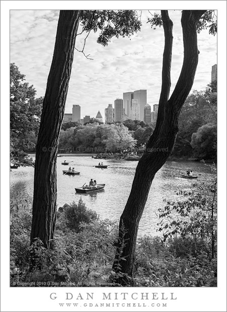
The Lake, Central Park. Manhattan, New York. August 14, 2010. © Copyright 2010 G Dan Mitchell – all rights reserved.

Summer boaters on The Lake, Central Park, Manhattan

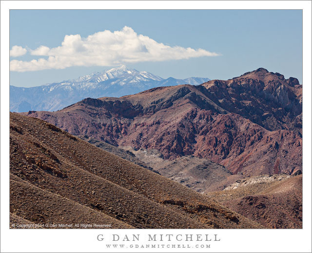
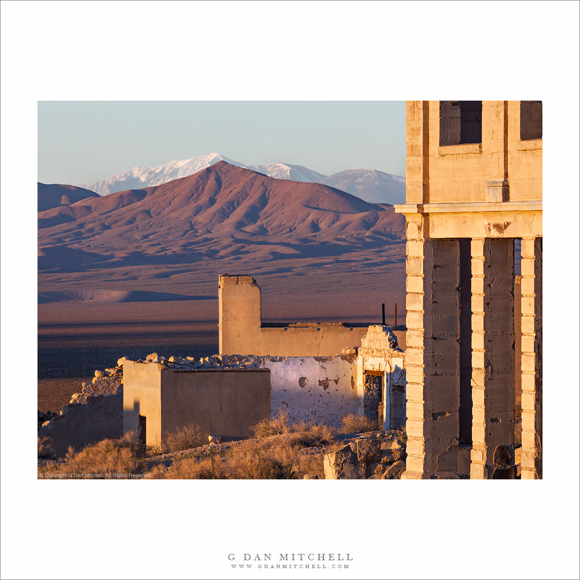
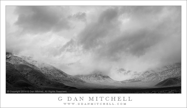
After watching a friend take on the task of posting a continuous string of black and white photographs during the holiday season this year, I have posted more monochrome photographs than usual, with a number of them coming from a backlog of older work that sits in the raw file archives. This has provided a bit of a necessary nudge to go back and revisit some of those older photographs. I haven’t taken a very systematic approach to this nostalgic review of the older work, instead almost randomly dropping in on the files from different years and subjects. A recent look at some older Sierra Nevada photographs took me back to 2010, and it wasn’t a long trip from there to a collection of photographs from a summer 2010 visit to New York City.

I think that 2010 was the first time I visited New York City in August. New Yorkers are perhaps rolling their eyes, knowing all about August weather there, but I was innocent. Now I know. (And, strange as it seems, I actually chose to go back this past August! I’m starting to get used to it and to perhaps even embrace the heat and humidity.) The Central Park location of this photograph is probably fairly obvious — we wandered through portions of the park and ended up near The Lake, where park visitors rowed slowly and serenely within sight of Manhattan’s urban buildings.


G Dan Mitchell is a California photographer and visual opportunist whose subjects include the Pacific coast, redwood forests, central California oak/grasslands, the Sierra Nevada, California deserts, urban landscapes, night photography, and more.
Blog | About | Flickr | Twitter | FacebookGoogle+ | 500px.com | LinkedIn | Email

Text, photographs, and other media are © Copyright G Dan Mitchell (or others when indicated) and are not in the public domain and may not be used on websites, blogs, or in other media without advance permission from G Dan Mitchell.

Telescope Peak

Telescope Peak
Telescope Peak

Telescope Peak. Death Valley National Park, California. April 1, 2014. © Copyright 2014 G Dan Mitchell – all rights reserved.

Telescope Peak, the highest point in Death Valley National Park, in the distance beyond the rugged terrain of upper Titanothere Canyon in the Amargosa Range

This one has been sitting in my queue for months now, and it is finally time to send it out with the other photographs! I made the photograph back in early April, while spending a few days in Death Valley exploring a lot of higher elevation area in the mountains on either side of the Valley itself. At one point during this visit, we ended up spending nearly an entire day high up in the Panamint range, at times doing something very unusual — photographing Death Valley wildflowers during a snowstorm!

The distant snow-covered peak in the photograph is Telescope Peak, at over 11,000′ of elevation the highest point in the Panamint range and in Death Valley National Park. While we often think of Death Valley’s reputation for heat, this peak is often covered with snow during the colder times of the year. The location from which I made this photograph is high in the mountains on the other, east side of the Valley, a very arid and rugged region that presents a different appearance than the much lower areas of the Valley itself. Here there is a landscape of dry and rugged mountains and valleys, often receding one behind the other into the distance. I stopped at this spot, where I have photographed before, and was captivated by the conduction of three peak shapes — the nearly peak at upper right, the distant summit of Telegraph Peak, and the peak-like form of the clouds above.

G Dan Mitchell is a California photographer and visual opportunist whose subjects include the Pacific coast, redwood forests, central California oak/grasslands, the Sierra Nevada, California deserts, urban landscapes, night photography, and more.
Blog | About | Flickr | Twitter | FacebookGoogle+ | 500px.com | LinkedIn | Email

Text, photographs, and other media are © Copyright G Dan Mitchell (or others when indicated) and are not in the public domain and may not be used on websites, blogs, or in other media without advance permission from G Dan Mitchell.

Rhyolite, Amargosa Valley, Telescope Peak

Rhyolite, Amargosa Valley, Telescope Peak

Rhyolite, Amargosa Valley, Telescope Peak. Near Death Valley National Park. April 1, 2014. © Copyright 2014 G Dan Mitchell – all rights reserved.

Telescope Peak, the Amargosa Mountains, and the Amargosa Valley seen beyond the ghost town of Rhyolite Nevada

I first visited the fabled ghost town of Rhyolite, Nevada perhaps a decade ago. I lies outside of Death Valley National Park, not too far from Beatty, Nevada. The place has existed in a state of mostly natural decay in the decades since it was abandoned. The story is that it was once a very successful and busy mining town, but as happens to virtually all such places, the mines played out and the town died. Not a lot is left at this point, though there are a few very interesting structures. Their size gives evidence of what the town must have been: a railroad station, a crumbling bank building, the remains of a large schoolhouse, and more.

When I first visited Rhyolite the place was pretty much what it was, and you could go just about anywhere you wanted to go. Within a few years fencing began to appear around some of the more dangerous structures—tall ruins of stone walls that are eventually going to fall. As time passed more and more fences were erected, and today many of the old buildings are off-limits. In a way this disappoints me, but given the increasing number of visitors and the increasingly fragile state of the town and its structures, I’m will to accept these limitations as a way to slow the eventual decay of the place. I’ve photographed at various times of day and in a range of conditions, but I still like dawn the best here. When the conditions are right, the sun comes up over a low ridge to the east and its light strikes the old bank building and other structures in the town just after it reaches the Amargosa Range and the summit of distant Telescope Peak, the highest point in Death Valley National Park.

G Dan Mitchell is a California photographer and visual opportunist whose subjects include the Pacific coast, redwood forests, central California oak/grasslands, the Sierra Nevada, California deserts, urban landscapes, night photography, and more.
Blog | About | Flickr | Twitter | FacebookGoogle+ | 500px.com | LinkedIn | Email

Text, photographs, and other media are © Copyright G Dan Mitchell (or others when indicated) and are not in the public domain and may not be used on websites, blogs, or in other media without advance permission from G Dan Mitchell.

Clearing Storm, Panamint Range

Clearing Storm, Panamint Range

Clearing Storm, Panamint Range. Death Valley National Park, California. April 2, 2014. © Copyright 2014 G Dan Mitchell – all rights reserved.

A clearing snow storm in the Panamint Mountains above Wildrose Canyon, Death Valley National Park

I seem to have a knack for encountering “interesting” weather in Death Valley. The first time I visited the park, on an early April trip back in the late 1990s, I encountered light snow at Scotty’s Castle, an extremely cold wind storm that forced a retreat from the back-country near Teakettle Junction, and a big dust storm at Stovepipe Wells. Since then I’ve experienced a number of dust storms, heavy rain, sub-freezing temperatures, more snow, and plenty of wind. If you are hoping to visit the park for its more typical hot weather, you might want to avoid times when I’m there! Of course, I often visit around the beginning of April, and this seems to be a time of wildly varied conditions in this park—the time of wind storms, and a season when you might see the last Pacific winter storms or the first really warm weather.

On this year’s early April visit things leaned more in the direction of winter-like conditions. As a series of welcome Pacific storms came through there were plenty of clouds, cooler temperatures, strong winds, and some precipitation. The plan on this morning was to start at a very high overlook in the Panamint Range, from which expansive morning vistas are often possible. We were there before sunrise… but it was cloudy and becoming cloudier. There was enough light for some photography, but we also became aware that snow was starting to fall on some of the higher peaks. After an hour or so at this location we retreated to a high, broad, sage-filled valley and continued to watch the clouds close in and the snow spread along other nearby ridges. Not wanting to miss the unusual conditions we headed up into Wildrose Canyon, getting as far as the charcoal kilns before the falling snow convinced me that we shouldn’t go any further. We worked our way back down the canyon where the storm began to temporarily clear from the ridge of the Panamint Mountains.

G Dan Mitchell is a California photographer and visual opportunist whose subjects include the Pacific coast, redwood forests, central California oak/grasslands, the Sierra Nevada, California deserts, urban landscapes, night photography, and more.
Blog | About | Flickr | Twitter | FacebookGoogle+ | 500px.com | LinkedIn | Email

Text, photographs, and other media are © Copyright G Dan Mitchell (or others when indicated) and are not in the public domain and may not be used on websites, blogs, or in other media without advance permission from G Dan Mitchell.