
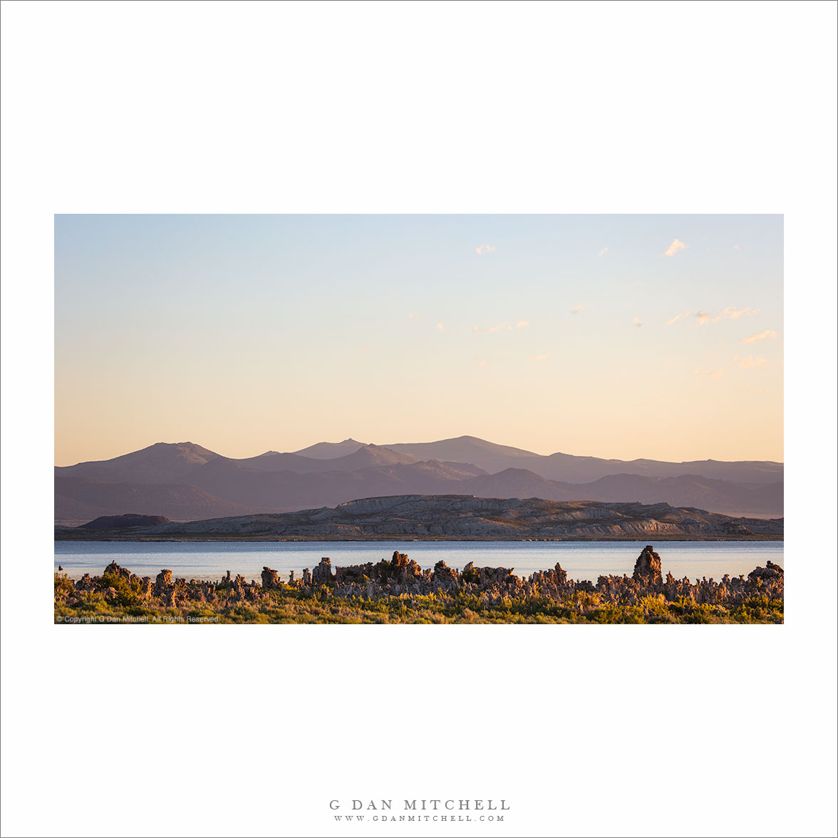
This view looks roughly north across the expanse of Mono Lake and Mono Basin. The foreground formations are tufa towers, exposed as the lake’s level dropped decades ago when Los Angeles began taking the water from feeder streams. The main body of the lake lies beyond the tufa. What appears to be the far shoreline is actually Paoha Island, a volcanic feature. In the far distance are desert mountains of the basin and range country.
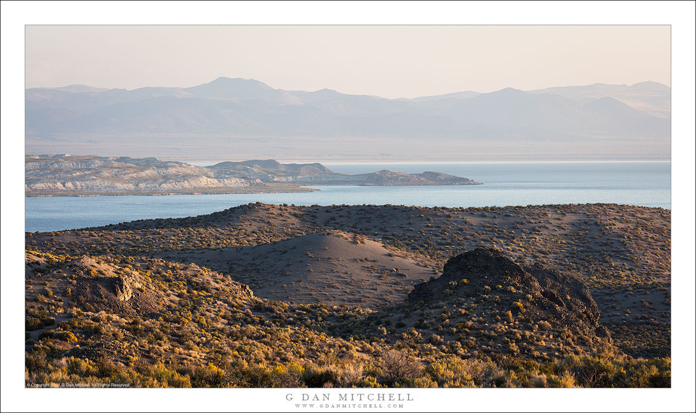
I knew some history about the fights over Mono Lake’s water, but I learned something new on this visit. A few decades ago Los Angeles Water and Power bought out water rights up and down the Eastern Sierra, drastically changing the environment — and in places turning former lakes into dusty wastelands. This taking dropped the level of Mono Lake by many feet (it was too late for Tule Lake in Owen’s Valley) until court orders and regulations forced an agreement that LA would begin to protect the watershed, with a goal of eventually restoring the lake to a level closer to its historic level. I thought that serious progress had been made… but decades later the lake’s level is still dangerously low.
G Dan Mitchell is a California photographer and visual opportunist. His book, “California’s Fall Color: A Photographer’s Guide to Autumn in the Sierra” (Heyday Books) is available directly from him. Blog | Bluesky | Mastodon | Substack Notes | Flickr | Email
(All media © Copyright G Dan Mitchell and others.)
Join the discussion — you are welcome to leave a comment or question. (Comments are moderated and may not appear immediately.)