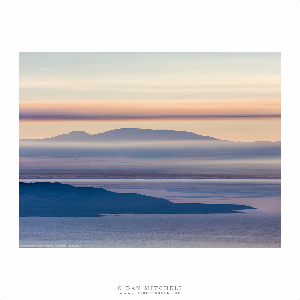
Wildfire Smoke, Early Morning. Along US 395, California. September 18, 2016. © Copyright 2016 G Dan Mitchell – all rights reserved.
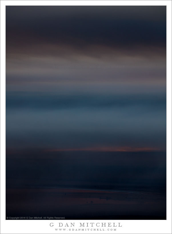
layers of thick wildfire smoke obscure the morning light
This was the culmination of more than twelve hours of observation of a developing wildfire located east of the Sierra Nevada, roughly between Lee Vining and Mammoth Lakes. The previous evening I finished a hike into the Sierra backcountry not far from Tioga Pass, returning to my car well after sunset. As I drove back down Lee Vining Canyon in the near-darkness I saw a big tower of smoke to the southeast and the tell-tale glow of fire on the bottom of the cloud. The next morning I woke up and headed straight back toward Mono Lake, from which I figured I could photograph conditions related to the fire.
I began photographing Mono Lake itself, where the lake was still mostly visible with only a few thin smoke clouds floating over it. But very soon this changed as winds brought the smoke right over Mono Lake, casting a pall over the scene all the way up to Conway Summit. My goal was to head south along the eastern escarpment, but as I did so the smoke only became thicker. I made this photograph at a point closer to the fire, where the smoke was very, very thick, enough so to take away most of the sunlight and add a post-apocalyptic quality to the scene.
 G Dan Mitchell is a California photographer and visual opportunist. His book, “California’s Fall Color: A Photographer’s Guide to Autumn in the Sierra” is available from Heyday Books and Amazon.
Blog | About | Flickr | Twitter | Facebook | Google+ | LinkedIn | Email
All media © Copyright G Dan Mitchell and others as indicated. Any use requires advance permission from G Dan Mitchell.