
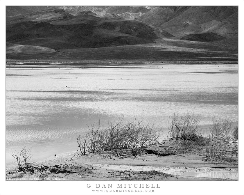
Panamint Lake. © Copyright 2019 G Dan Mitchell – all rights reserved.
Panamint Lake spreads across Panamint Valley following heavy winter rains.
Death Valley National Park visitors who arrive from the west or southwest almost certainly drive through Panamint Valley — whether traversing a good part of its length when driving north from Ridgecrest and Trona arriving after driving across from Owens Valley and US 395. The area was not originally part of the park but was added more recently. Despite being framed by big, rugged mountain ranges on either side, it is more typically a place people drive “through” rather than “to.”
It is also generally a very dry place. But near its upper end there is a typical desert playa… which necessarily implies that the area is periodically flooded during wet periods. This spring I passed through twice on visits that were about a month apart. The first time followed a very wet period and the usually dry playa was covered by a very large, shallow lake… of which there were virtually no traces one month later.
G Dan Mitchell is a California photographer and visual opportunist. His book, “California’s Fall Color: A Photographer’s Guide to Autumn in the Sierra” is available from Heyday Books and Amazon.
Blog | About | Flickr | Facebook | Email
Links to Articles, Sales and Licensing, my Sierra Nevada Fall Color book, Contact Information.
All media © Copyright G Dan Mitchell and others as indicated. Any use requires advance permission from G Dan Mitchell.