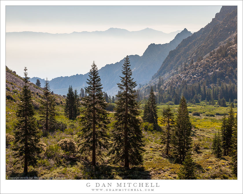
Across Owens Valley. © Copyright 2019 G Dan Mitchell – all rights reserved.
Look across Owens Valey from a perch high in and Eastern Sierra canyon.
The east side entries to the Sierra Nevada high country bring all sorts of associations for me. My earliest experience with the range was always on the west side, coming across the great Central Valley, rising into the foothills, entering the great forests, and much later finally getting in sight of the highest, rocky peaks. My first trip to the east side, at least the first one I can recall, came much later. A friend roused me from my comfortable west-side stupor. He had gone to grad school at UCLA, and thus his orientation to the range was to drive up through the desert, parallel the immense eastern escarpment for miles, and then ascent abruptly into the range. After going into the range that way once… I was hooked.
Almost any east side entrance or exit will also produce long views into the depths of Owens Valley, and across that dry valley to the Inyo and White Mountains. These comprise quite a mighty range on their own, and the many are often surprised by their first view, when they discovered the there are peaks to the east and are just as high as those of the Sierra. I made this photograph near a trailhead in one of the east side canyons. We were just heading out for a week of backcountry photography in Sequoia-Kings Canyon, and as we started up the trail I paused to look back to the east.
G Dan Mitchell is a California photographer and visual opportunist. His book, “California’s Fall Color: A Photographer’s Guide to Autumn in the Sierra” is available from Heyday Books and Amazon.
Blog | About | Flickr | Facebook | Email
Links to Articles, Sales and Licensing, my Sierra Nevada Fall Color book, Contact Information.
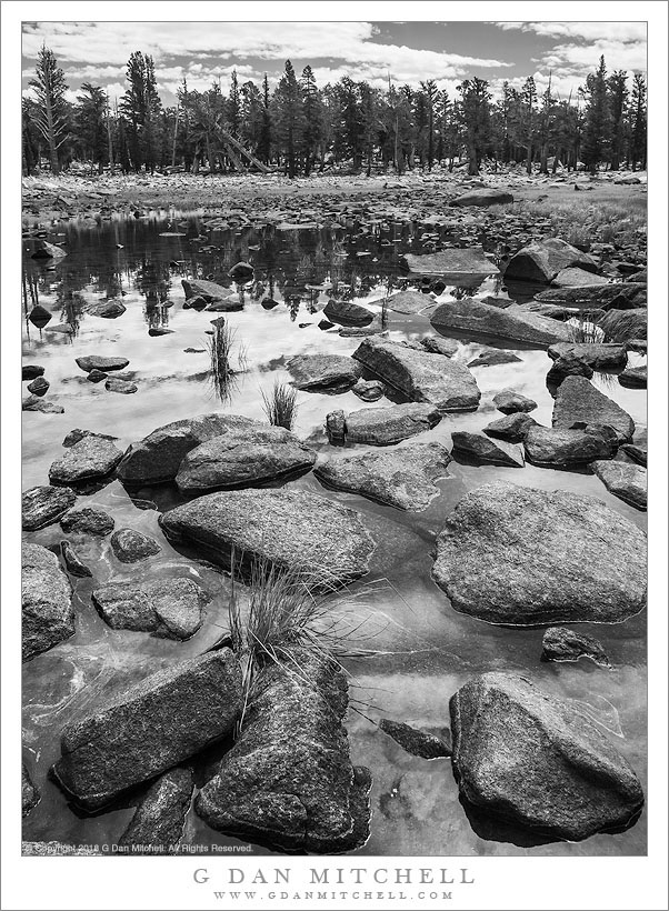
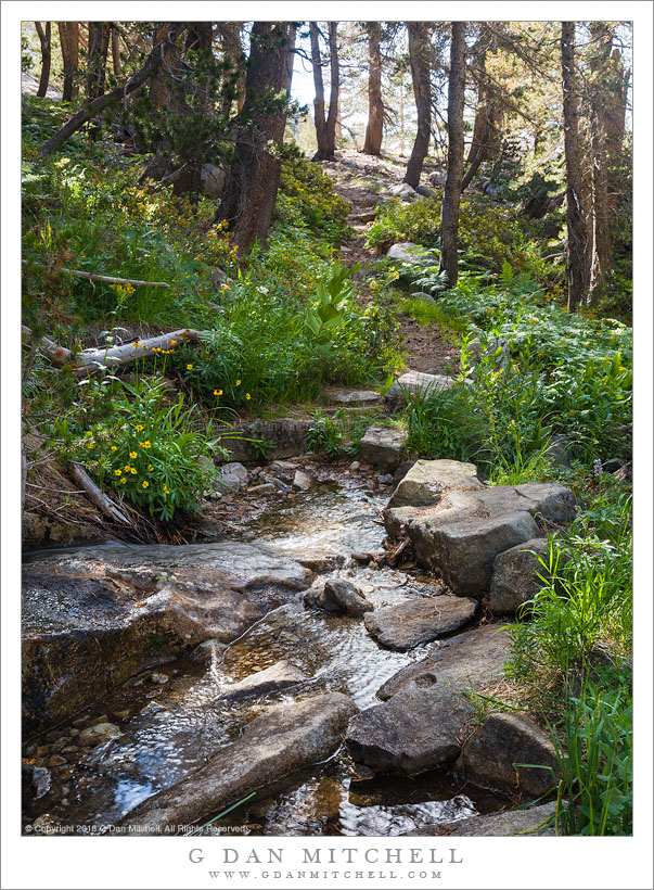
All media © Copyright G Dan Mitchell and others as indicated. Any use requires advance permission from G Dan Mitchell.