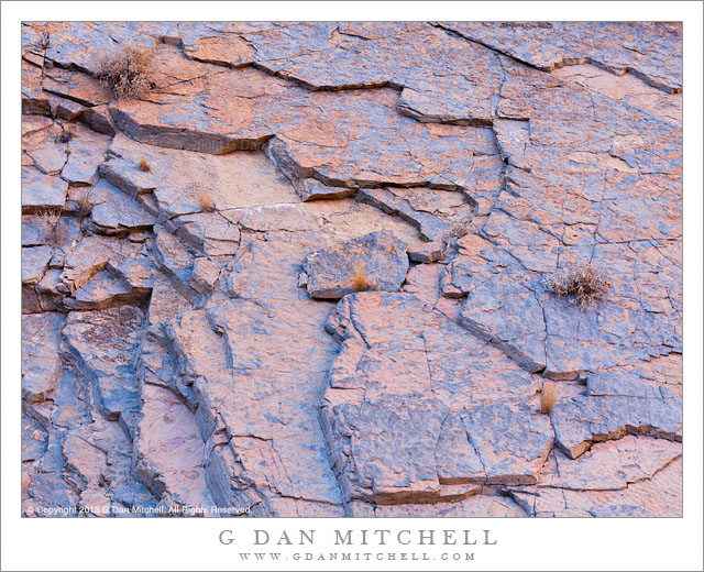
Fractured Rock, Reflected Light. Death Valley National Park, California. December 11, 2013. © Copyright 2013 G Dan Mitchell – all rights reserved.
A few plants grow on fractured pink and blue canyon rock illuminated by light reflected from nearby cliffs
In my experience, the geology of Death Valley mostly features relatively subdued coloration. While this geology is laid bare by the lack of thick vegetation, the colors are mostly shades of gray, white, tan, with occasional blues and greens from mineral deposits. But you rarely will see here the intense colors of, say, the sandstone formations of the Southwest. (Sorry to disappoint anyone, but if you have seen some photographs featuring intensely colorful deposits in places like “Artist Palette,” you may be a bit disappointed to see the real thing!) This is not entirely bad news, as subtle colors can also be very beautiful, and even these colors can become intensified in the right light… and that does occur in Death Valley.
This photograph perhaps tells a story that is partially about the color of rock and a bit about the light, and is also about keeping my eyes open for the fleeting and sometimes surprising examples of color. I was in a place that is not known for brilliant colors, at least not in the walls of this narrow canyon. As I passed through a narrow and twisting section, two things happened, and even though I’ve been there before this was the first time that I noticed them at this point. First, the steep, almost seems cliff-like wall has fractured layers and slabs that remind me a bit of exfoliating granite that I know so well from the Sierra. These layers alternate pinkish rock (that this non-geologist thinks look like some sort of sandstone) with inner layers that have a blue cast. Second, at the right time of day when the light strikes the upper walls of the narrow canyon, the light reflects down into its depths and warms the color of the light, emphasizing these subtle colors to produce what is, at least for Death Valley, some rather striking coloration.
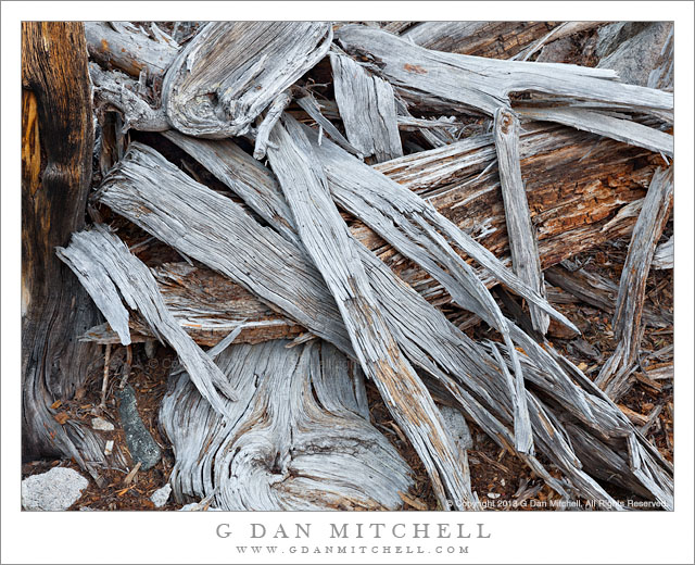
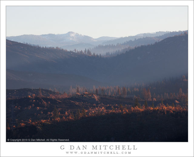
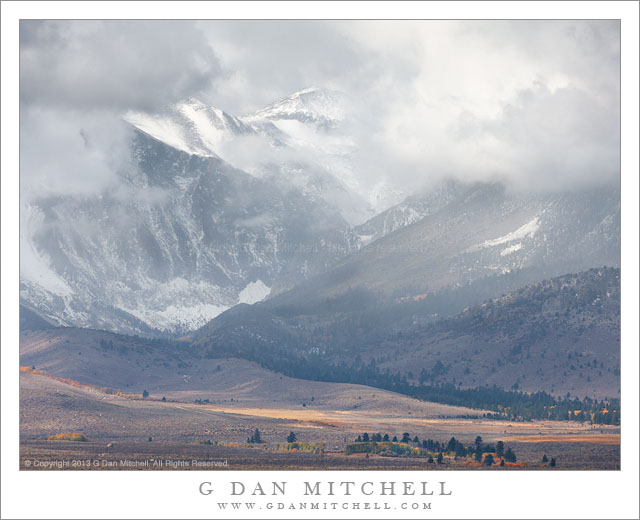
 G Dan Mitchell is a California photographer and visual opportunist whose subjects include the Pacific coast, redwood forests, central California oak/grasslands, the Sierra Nevada, California deserts, urban landscapes, night photography, and more.
Blog | About | Flickr | Twitter | Facebook | Google+ | 500px.com | LinkedIn | Email
Text, photographs, and other media are © Copyright G Dan Mitchell (or others when indicated) and are not in the public domain and may not be used on websites, blogs, or in other media without advance permission from G Dan Mitchell.