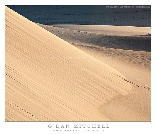
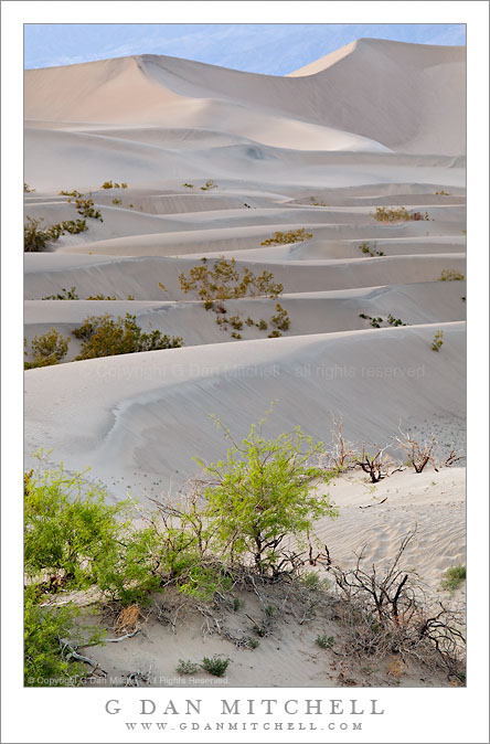
I’m back – by the skin of my teeth – from my annual spring photography trip to Death Valley. But I don’t think I’ll be going back soon.
As you may have heard, it has been a record year for precipitation in Death Valley. With that in mind I was hoping for some wildflowers and perhaps a bit of water here and there on this visit. I should have heeded my instincts when I encountered the first problem when I drove up the Panamint Valley route from Ridgecrest and passed through Trona. Searles Lake has more water in it than I’ve ever seen! It seems like everyone in Southern California knew about it, judging from the line-up of trucks and boat trailers at the launching ramp waiting for a spot at the marina. Traffic was backed up from the Starbucks just south of town all the way to the parking lot entrance just north of the McDonalds and the bike paths were packed with folks out enjoying the fresh air. Although it was sunny, the snow level in the Panamints was almost all the way down to the floor of Searles Valley, creating a striking contrast between the rows of palm trees along the lake shore and the white slopes beyond. (I’ll try to post a photo later.)
I finally got through the traffic and headed on up the road, soon passing the outlet mall on the western outskirts of Ballarat. Since I was running late I decided not to stop, figuring that I might just try to stop on the way home. (It always looks like they are about to run out of the product you want, but I’ve learned that if you come back later they will have miraculously found more stock! :-) I left the freeway at the Wild Rose Canyon off-ramp and turned north towards highway 190, glad for the decreased number of commercial trucks. Though the traffic report was indicating some weather related issues going over Towne Pass I figured I’d give it a try. Since I have four-wheel-drive, I kept going at the chain control check-point. Hey, how bad could it be? This is the desert!
I soon found out how bad. As I approached the pass it became apparent that the road crews were stretched thin – and rather than work in the freezing cold blizzard conditions at the pass they apparently had chosen to stay down in the relative calm of Panamint Valley – probably because the mini-mart was closer! Basically, they had given up on clearing the road. Why they didn’t close the pass is a complete mystery to me. The water from the previous day’s heavy rains had frozen overnight, leaving a slick ice-rink surface below six inches of unplowed slushy snow. Cars, trucks, and buses had skidded off the road everywhere. The gale force winds were so strong that small rocks from the surrounding slopes near the pass were skidding and flying across the road. Several times I thought for sure I was going to be stranded as well, but I managed to keep the car moving forward, finally getting to the ski area parking lot at the summit of the pass. A few visitors were huddled there waiting for help, but as long as I could keep moving I wasn’t about to stop. I started down the long slope to Stovepipe Wells, more or less “skiing” the car at times.
By the time I got to Stovepipe, word about the conditions at the pass had apparently gotten down the hill, and thousands of cars were parked there, completely overtaxing the facilities – no food, no gas, no rooms… and no campsites. The authorities realized that those of us with no place else to go had to stay somewhere, so they opened up the airstrip campground located a ways out in the desert a bit northwest of the regular campground. I found a spot by the terminal that was somewhat protected by the wind, parked my car, and prepared to spend the night sleeping in the car. At this point I discovered an unanticipated problem – my “good” spot next to the terminal turned out to be right next to the Stovepipe Airport taxiway. So, every time a flight came in or left I was awakened by the tremendous roar of the plane engines and blast of wind that shook the car. The rescue helicopters were coming and going constantly. Sleep was hardly possible. On a positive note, the Cinnabon store stayed open late to accommodate stranded passengers.
In the morning I saw clearing skies, and after the traditional stop at the Stovepipe Starbucks I decided to see if the road to the Racetrack Playa was open. The surrounding mountains were brilliant white down to perhaps the 500′ elevation – covered by better than a half foot of fresh snow. I made a few exposures (I’ll post later) and then started the drive up the Valley towards Scotty’s Castle, near which the famous road to the Racetrack starts.
Somehow, the storm that had dumped the remarkable snow near Stovepipe had bypassed the start of the road to the Racetrack. I fully expected this road to be closed – the NPS tends to overreact, often shutting down the highway for the tiniest amount of snowfall. However, as I passed under the entry-way arch marking the start of the route there were no warning messages on the flashing overhead display, just the words, “Have a nice day!” and a smiling image of Smoky Bear! Since the road here was inexplicably dry, I decided to trust the reassuring sign and see how it would go. I filled the tank ($7.59/gallon!), grabbed a bag of Doritos and a Gatorade, and headed out.
I guess that bad weather elsewhere had scared people off, as I had the road almost completely to myself from about a half mile past the Ubehebe Crater Safeway. Sometimes the right lane is clogged with tourists pulling their rental trailers and (slowly) driving their RVs, but on this day it was clear sailing – 65mph all the way! I arrived at the motel at the Racetrack in less than an hour and quickly checked in. I got a cheap room and when I opened the sliding glass door I found that I had a great view of the playa… which was completely flooded to a depth of several feet! I couldn’t believe my eyes – I had driven all the way out here to photograph the famous sliding rocks and now the playa was flooded. What a disappointment!
I sat down on one of the deck chairs, cracked open my Gatorade, finished off the Doritos, and pondered what to do next while absent-mindedly gazed out at the lake. Soon I noticed that the small rowboats floating on the surface of the water were very gradually drifting downwind. That seemed odd – the strong wind should have moved them much faster. As I watched I saw that a bass fisherman was in one of the boats and busy with a rope near the stern – he seemed to be struggling to pull something up. Finally he succeeded in pulling a large rock attached to the rope into the boat, and the boat immediately began moving quickly under the force of the wind. A moment later he tossed the rope and rock back into the water and the boat’s forward motion slowed to a crawl as a plume of muddy water appeared near the stern.
(More to come: Bar closes at Scotty’s Castle, Zabriskie Point closed to photographers, gas down to $2.19/gallon at Furnace Creek, Rhyolite deposit discovered and Keane Wonder Mine reopens, Ubehebe Crater hot springs report, Badwater sky pilots blossoming, new pay outhouses installed throughout the park, Titus canyon temporarily blocked by jack-knifed big-rig, rivers rising as snow melts, hailstorm peppers salt creek, Stovepipe ice rink closes for the season… or not.)
(NOTE: There is a reason that this post was written on April 1st… With that in mind, you should check with accurate sources of current and official information before taking your trip to Death Valley. Some parts of this report are, uh, not quite accurate. :-)
 G Dan Mitchell is a California photographer and visual opportunist. Blog | About | Flickr | Twitter | Facebook | Google+ | 500px.com | LinkedIn | Email
All media © Copyright G Dan Mitchell or others where indicated. Any use requires advance permission from G Dan Mitchell.