Chasing Spring Color In The Temblor Range. Carrizo Plains National Monument, California. April 2, 2017. © Copyright 2017 G Dan Mitchell – all rights reserved.
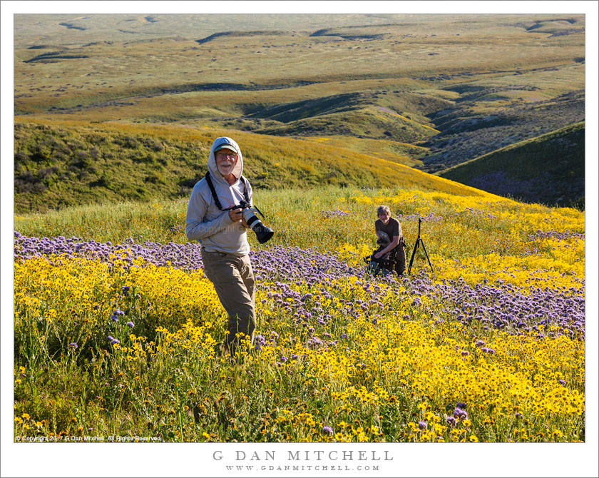
Photographers Robert Eckhardt and Michael Frye photographing spring wildflowers in California’s Temblor Range
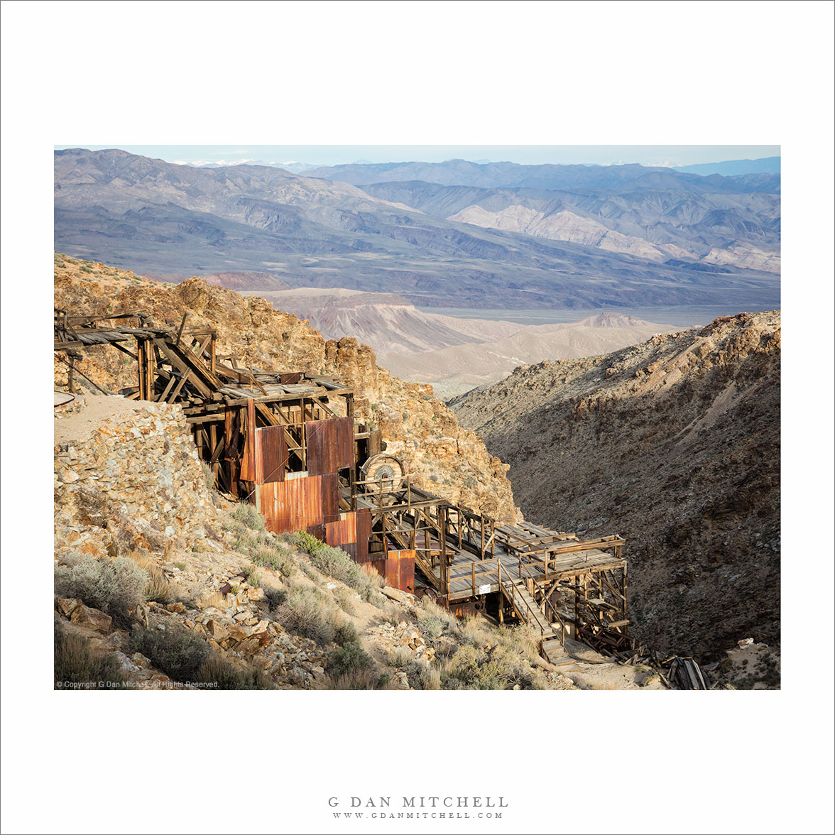
It has been my tradition for a number of years to spend the better part of a week photographing in Death Valley National Park around the beginning of April. It turned out that this year’s spring bloom in the Carrizo Plain area was reported to be stupendous, and when I heard that friends of mine would be there photographing I altered my plans to pass through there on my way to DEVA, giving myself an evening and a morning to photograph the wildflowers and landscape.
The group of us decided to head out to some hillsides at the base of the Temblor Range, which runs along the edge of the plain. We drove as far as we could up a dead-end gravel road, then got out, loaded up camera gear, and headed up into the hills, where lots of flowers were covering sections of the hillsides. Here photographers Robert Eckhardt and Michael Frye photograph in a field of yellow and purple high above the base of the hills and the Carrizo Plain.
 G Dan Mitchell is a California photographer and visual opportunist. His book, “California’s Fall Color: A Photographer’s Guide to Autumn in the Sierra” is available from Heyday Books and Amazon.
Blog | About | Flickr | Twitter | Facebook | Google+ | LinkedIn | Email
All media © Copyright G Dan Mitchell and others as indicated. Any use requires advance permission from G Dan Mitchell.