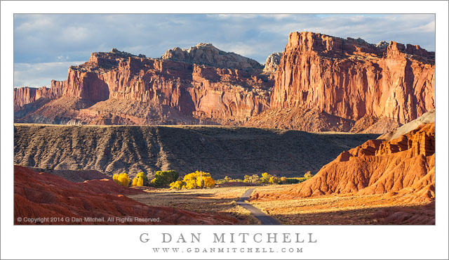
Sandstone Cliffs, Autumn. Capitol Reef National Park, Utah. October 20, 2014. © Copyright 2014 G Dan Mitchell – all rights reserved.
Evening light on the autumn sandstone landscape of Capitol Reef National Park, Utah
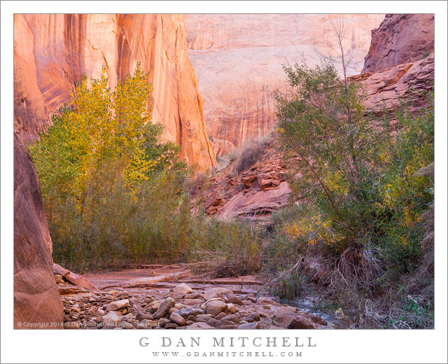
I began this fall season visit to Utah in the far southwest corner of the state, making Kanab my base for the first few days. There I explored various valleys and canyons, mostly improvising an itinerary as the mood struck me. I returned there to a few places I had visited in the past and also visited a few new places. After a few days here I took a back-route up to Capitol Reef where I would meet up with my friend and fellow photographer David Hoffman.
I arrived at Capitol Reef in the afternoon, found Dave’s campsite (he had arrived earlier) and set up my tent. As I recall, we were unable to resist the lure of the nearby place selling home-made pies, and it wasn’t until late in the day that we decided to make a quick run for some sunset light. We found it quickly — the location of our campground is just out of sight to the right around the bend in the road running up this valley. Because the landscape tilts up to the west here, the sunset seems to come a bit earlier than I would expect, and we were barely in time of catch this light before the valley fell into shadow.
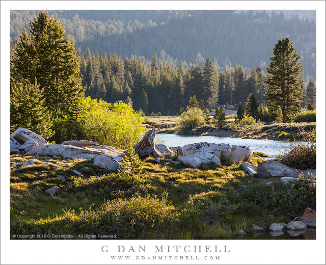
 G Dan Mitchell is a California photographer and visual opportunist. Blog | About | Flickr | Twitter | Facebook | Google+ | 500px.com | LinkedIn | Email
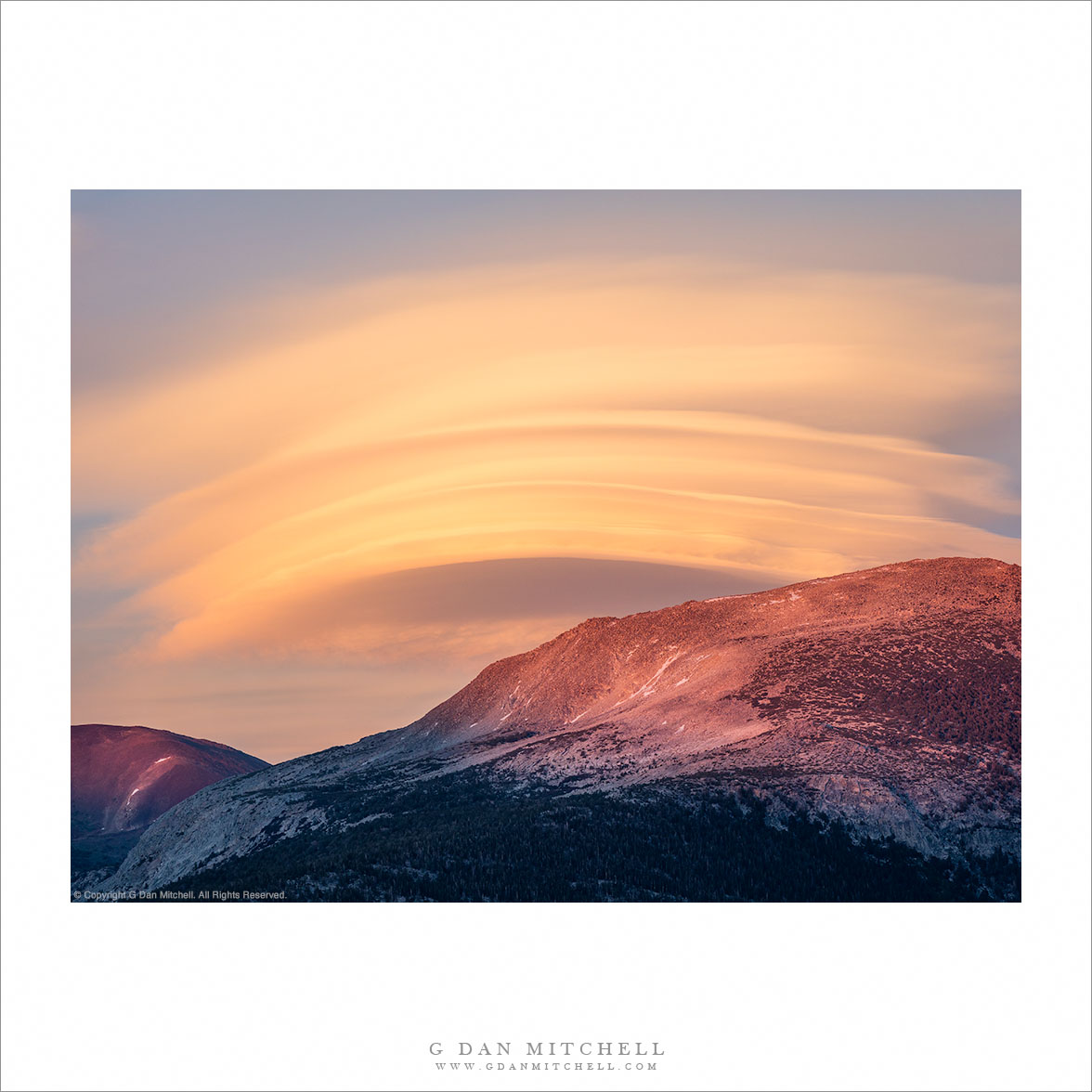
All media © Copyright G Dan Mitchell and others as indicated. Any use requires advance permission from G Dan Mitchell.