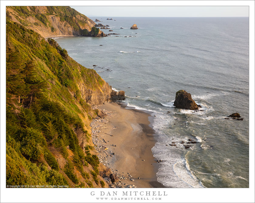
Mouth of the Klamath. © Copyright 2018 G Dan Mitchell – all rights reserved.
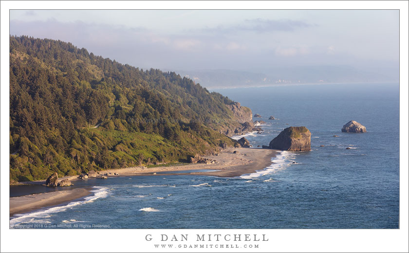
Evening fog at the mouth of the Klamath River and the Northern California Coastline
The first day of my early June visit to the Redwood National and State Parks area was largely devoted to the very long drive up from the San Francisco Bay Area. I got an early start — always important to at least try to get out of the Bay Area early on commute days! — and was in Redding by late morning. While that is certainly far enough north it isn’t far enough west, and a three-hour drive to the coast was still ahead of me, plus perhaps another hour north along the coast to my lodgings in Crescent City.
After so much inland driving, it was a relief to finally reach the coast in the Eureka/Arcata area and to then turn north toward my destination. I lingered a bit in the Klamath River area. I feel a bit of a connection to this river as I have spent some time photographing birds in the area where it crosses the California-Oregon border. I didn’t know this area around the river’s mouth at all — I just knew that the low hills and coastal light were beautiful. I crossed the river on a long bridge, passed by various businesses clustered near its north end, and soon found a promising road out to the hills just to the north, from which there is a panoramic view back across the rivers itself and the hills and coast to the south.
See top of this page for Articles, Sales and Licensing, my Sierra Nevada Fall Color book, Contact Information and more.
 G Dan Mitchell is a California photographer and visual opportunist. His book, “California’s Fall Color: A Photographer’s Guide to Autumn in the Sierra” is available from Heyday Books and Amazon.
Blog | About | Flickr | Twitter | Facebook | LinkedIn | Email
All media © Copyright G Dan Mitchell and others as indicated. Any use requires advance permission from G Dan Mitchell.