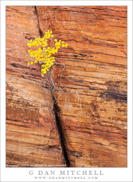
Autumn Leaves, Layered Sandstone with Diagonal Crack. Zion National Park, Utah. October 22, 2013. © Copyright 2013 G Dan Mitchell – all rights reserved.
A small plant with yellow autumn leaves grows from a diagonal crack in wall of layered sandstone, Zion National Park
I’ll start off by admitting that I now don’t recall exactly where I made this photograph on this day when we visited Zion National Park. I’m virtually certain that it in the high country along the Mt. Carmel Highway that crosses the park from east to west, but where on that highway I’m not certain. Of course, some crack in the rock with a bush growing out of it hardly is likely to be an iconic, named location!
What I do recall is that we spent a good portion of this first trip’s first day in Zion along this road, and to some extent driving back and forth along it a few times, watching for new subjects as the day’s light evolved. At times a cliff that had been in sun earlier in the day would be in shadow later, so we had a choice to photograph in soft light or harsh. All along this roadway there were the usual interesting subjects – sedimentary rock formations of all sorts and all colors – but also at this time of year the fall color show was beginning. I believe that this little vignette might have been down in one of the washes or slot canyons that we dropped into in search of this color.
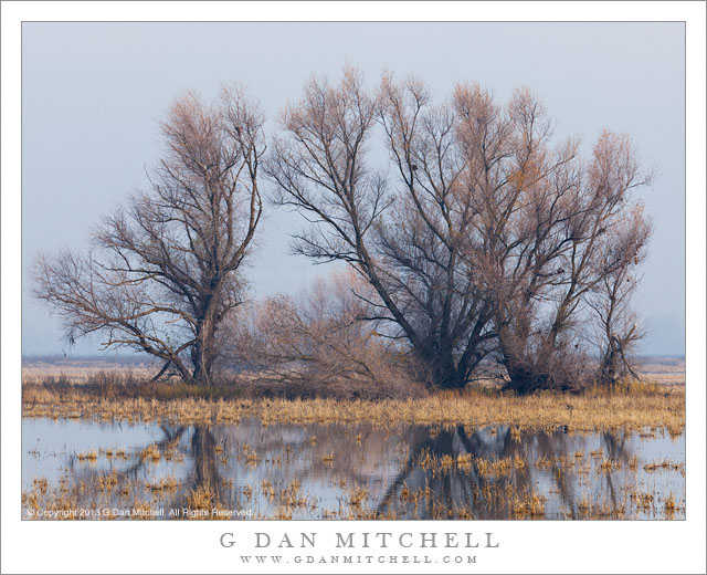
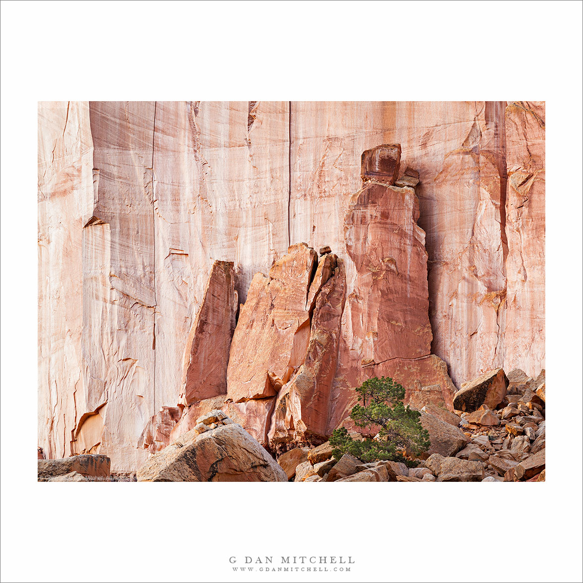
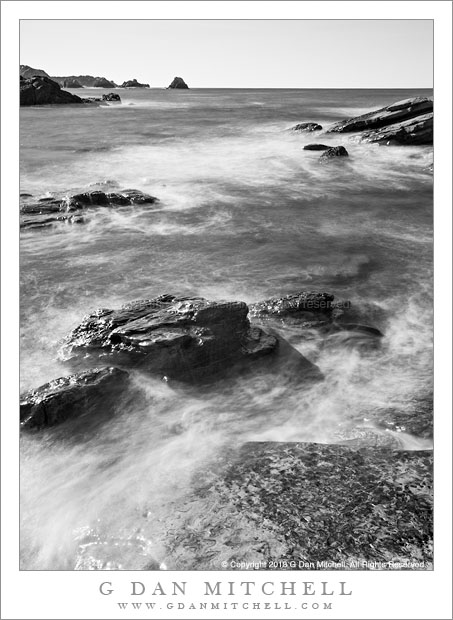
 G Dan Mitchell is a California photographer and visual opportunist whose subjects include the Pacific coast, redwood forests, central California oak/grasslands, the Sierra Nevada, California deserts, urban landscapes, night photography, and more.
Blog | About | Flickr | Twitter | Facebook | Google+ | 500px.com | LinkedIn | Email
Text, photographs, and other media are © Copyright G Dan Mitchell (or others when indicated) and are not in the public domain and may not be used on websites, blogs, or in other media without advance permission from G Dan Mitchell.