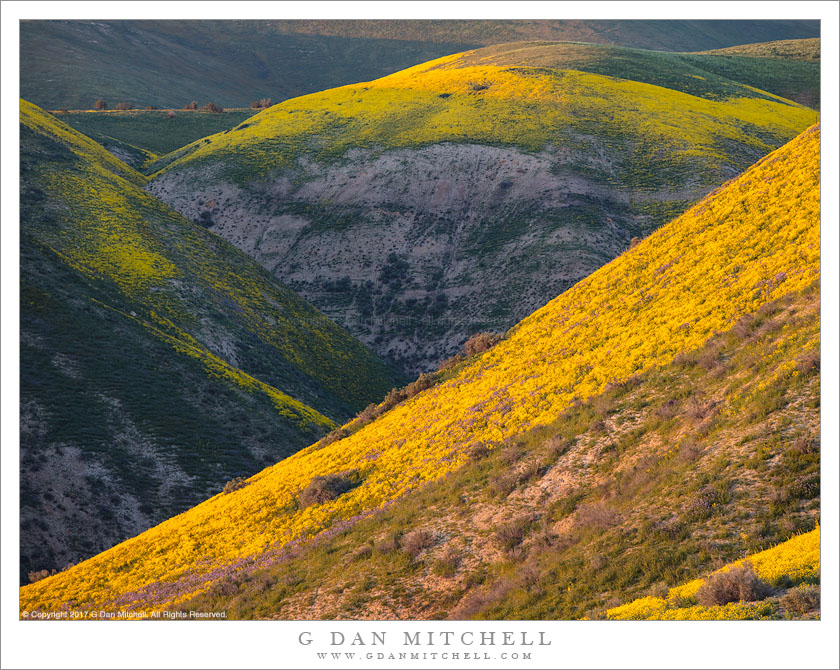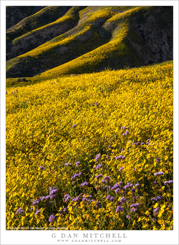
Wildflowers, Central California Hills. Carrizo Plain National Monument, California. April 2, 2017. © Copyright 2017 G Dan Mitchell – all rights reserved.
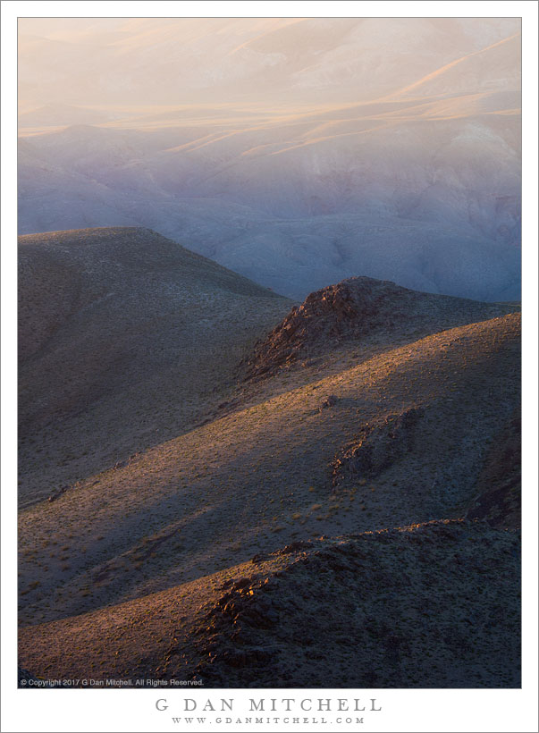
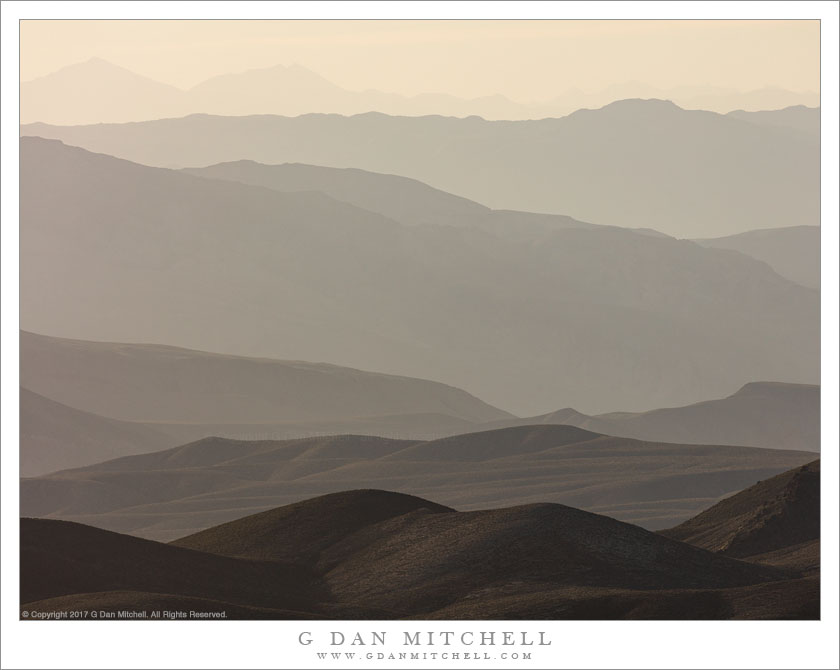
Spring wildflower bloom in San Luis Obispo County, California
Our evening hike to photograph the flowers began with a drive. We left our campsite, picked up a gravel cross-valley road, followed another narrower gravel road, and finally turned up a one-lane track heading up into the hills. Before long it dead-ended at a gate with an opening that only allowed foot traffic beyond. We loaded up, decided to forego the main trail, dropped into a gully, climbed a slope on the other side, and then followed a ridge up into the hills.
As we climbed the flowers, of all sorts, became thicker and thicker, and before long we were “wading” through fields of them, sometimes up to our hips, as we headed toward some likely looking slopes even higher up. Finally arriving at what seemed like the likely place to start photographing, there was a flat plateau along the ridge, and flowers carpeted sections of it. To make this photograph I positioned myself so that the main field of flowers was directly in front of my, with the further layered ridges extending beyond and further up into the hills.
 G Dan Mitchell is a California photographer and visual opportunist. His book, “California’s Fall Color: A Photographer’s Guide to Autumn in the Sierra” is available from Heyday Books and Amazon.
Blog | About | Flickr | Twitter | Facebook | Google+ | LinkedIn | Email
All media © Copyright G Dan Mitchell and others as indicated. Any use requires advance permission from G Dan Mitchell.