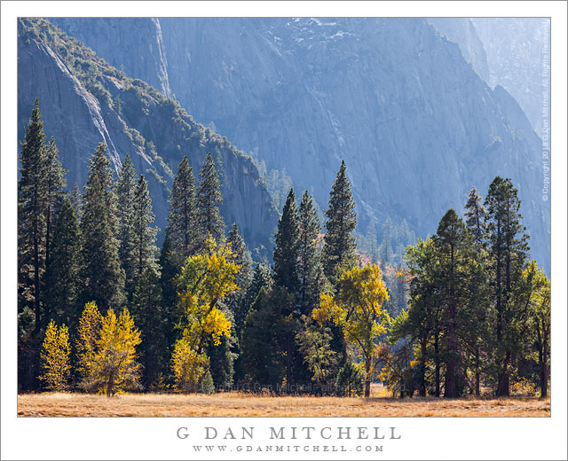
Forest and Cliffs, Autumn. Yosemite Valley, California. October 30, 2013. © Copyright 2013 G Dan Mitchell – all rights reserved.
Soft autumn light on Yosemite Valley forests and granite cliffs.
A typical day of shooting in normal weather in a place like Yosemite Valley starts early – though perhaps not as early as in some other locations, since the first light is somewhat muted by the tall cliffs and taller peaks to the east. I select subjects largely based on what the light is like and where I think it will be interesting, often focusing on places where I can get nice backlight, soft light in shadows, or perhaps atmospheric conditions such as fog. I may move around the Valley, shooting in one spot for a while and then moving on to another place where I suspect that conditions might be interesting. Depending upon the conditions and the season, this can go on for hours in the morning until eventually the light becomes “midday blah” and I’m exhausted and hungry! Time for a (very late) breakfast break and a pause in the photography on most days. After coffee and food I’ll usually take care of some business, for example breaking camp if it my final day there, and I’ll often wander around to visit familiar places – perhaps a gallery or a museum – and then it is probably time for a short nap. (Keep in mind that I’ve been up since well before dawn, and will likely shoot until dark and then possibly drive for four hours or more!)
At some point in the mid to early afternoon it feels like time to photograph some more – the angle of the light becomes less and backlight opportunities increase, afternoon haze may be increasing the sense of depth in the landscape, and I need to begin figuring where I’ll want to be at various times during the evolution of the light that will continue until after sunset. On this afternoon I went back into photography mode at about 2:30 or so, and this photograph was made at the “early” hour of around 3:00. But because it was fall, the sun angle was already low enough to backlight and highlight the cottonwood trees at the edge of the meadow and the textures and shapes of the granite cliffs rising above the Valley.
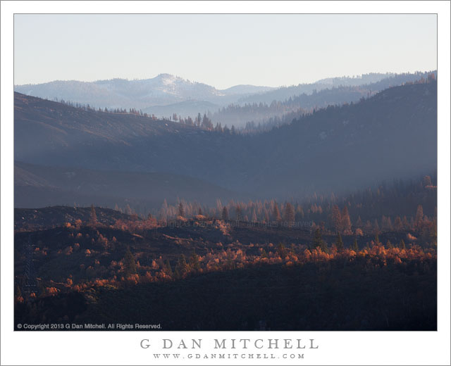
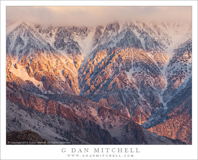
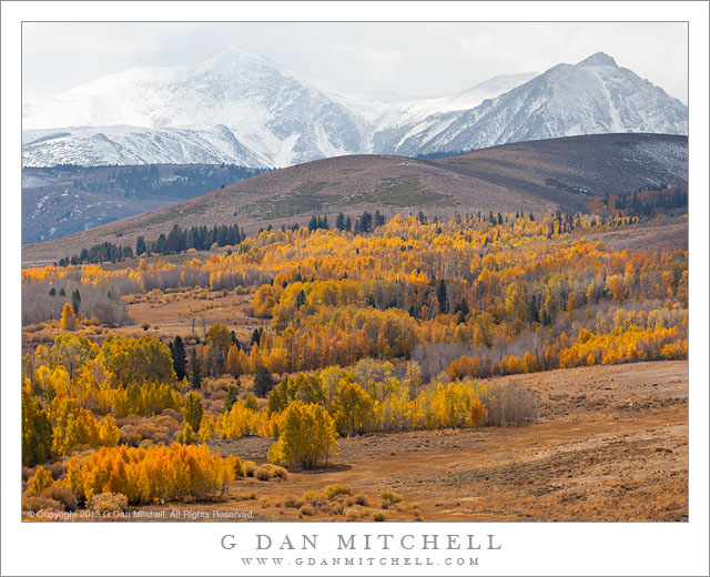
 G Dan Mitchell is a California photographer and visual opportunist whose subjects include the Pacific coast, redwood forests, central California oak/grasslands, the Sierra Nevada, California deserts, urban landscapes, night photography, and more.
Blog | About | Flickr | Twitter | Facebook | Google+ | 500px.com | LinkedIn | Email
Text, photographs, and other media are © Copyright G Dan Mitchell (or others when indicated) and are not in the public domain and may not be used on websites, blogs, or in other media without advance permission from G Dan Mitchell.