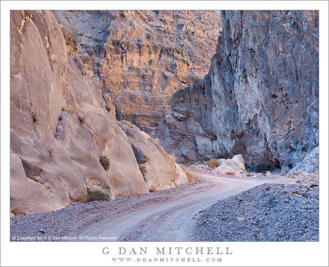
Titus Canyon Narrows. Death Valley National Park, California. December 11, 2013. © Copyright 2013 G Dan Mitchell – all rights reserved.
Titus Canyon road passes through the Narrows as light reflects down from canyon walls high above
Titus Canyon road is a well-known “attraction” in Death Valley National Park, traveling from the eastern park boundary in the Amargosa Valley near the town of Beatty, Nevada over the Grapevine Mountains and then down to Death Valley itself. It is also known as a fairly rough road, subject to washouts and closures after storms – not a true four-wheel-drive road, but certainly not for the faint of heart of those who are not accustomed to rough desert and mountain driving. (Many chose to forgo the long drive and instead hike into the canyon from its mouth, from which the spectacular “narrows” section is easily accessible.)
I have been getting to better know the country through which this road passes as I’ve driven it many times during the past decade or so. More recently I have been slowing down and taking nearly the full day to drive its length – and in doing so I am able to see and photograph things that I used to miss. Oddly, since it is often regarded as the main attraction of the route, I’ve often found it very difficult to photograph the narrows section near the end of the road just before it spills out at the top of a giant alluvial fan along the edge of Death Valley. Perhaps it is the predominantly gray color of the rocks – once you’ve photographed the canyons of the Southwest, California rock just looks so drab! This time I think I passed through the narrows section at what must have been just about the ideal time of day and season, and light hitting upper canyon walls was reflecting down into the bottom of the canyon and creating some interesting, albeit subtle, colors and soft reflections on the rocks.
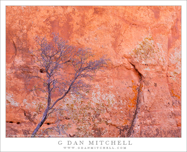
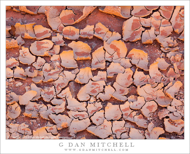
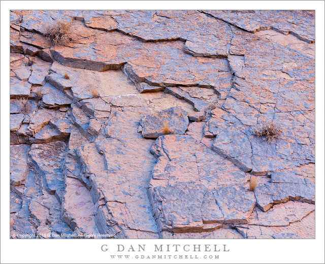
 G Dan Mitchell is a California photographer and visual opportunist whose subjects include the Pacific coast, redwood forests, central California oak/grasslands, the Sierra Nevada, California deserts, urban landscapes, night photography, and more.
Blog | About | Flickr | Twitter | Facebook | Google+ | 500px.com | LinkedIn | Email
Text, photographs, and other media are © Copyright G Dan Mitchell (or others when indicated) and are not in the public domain and may not be used on websites, blogs, or in other media without advance permission from G Dan Mitchell.