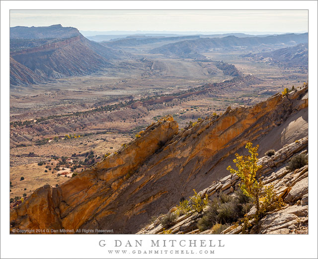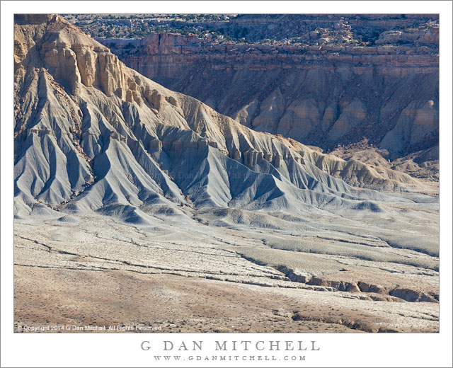
Eroded Ridge and Valley. Capitol Reef National Park, Utah. October 22, 2014. © Copyright 2014 G Dan Mitchell – all rights reserved.
Eroded ridge and valley in the Waterpocket Fold area, Utah
This landscape could hardly be more different from the landscape in yesterday’s photograph. The earlier photograph was of Drake’s Estero, at the Point Reyes National Seashore, made on a day that was almost entirely foggy until a brief interval of filtered sun illuminated the blue waters of the estuary, a bit of green on a peninsula, and distant sky and water. None of those things are found in this photograph.
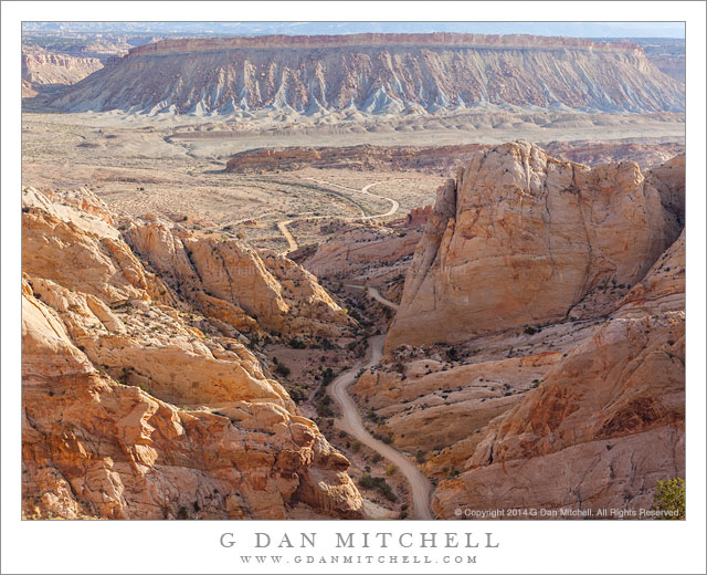
This landscape from Capitol Reef National Park is austere, arid, and quite rugged. It has a special beauty, but it is not a beauty with soft edges, misty skies, and water. Here the land is laid bare, seeming from a distance to be devoid of plant life. (Once inside this landscape, it turns out to be a bit more alive than it might seem.) Geology and the effects of time are visible in these places with their colored layers of rock, deeply cut valleys, and rugged erosion forms. Here gullies lie below rocky ridges, and two valleys come together in a flat area laced by stream beds.
 G Dan Mitchell is a California photographer and visual opportunist. Blog | About | Flickr | Twitter | Facebook | Google+ | 500px.com | LinkedIn | Email
All media © Copyright G Dan Mitchell and others as indicated. Any use requires advance permission from G Dan Mitchell.