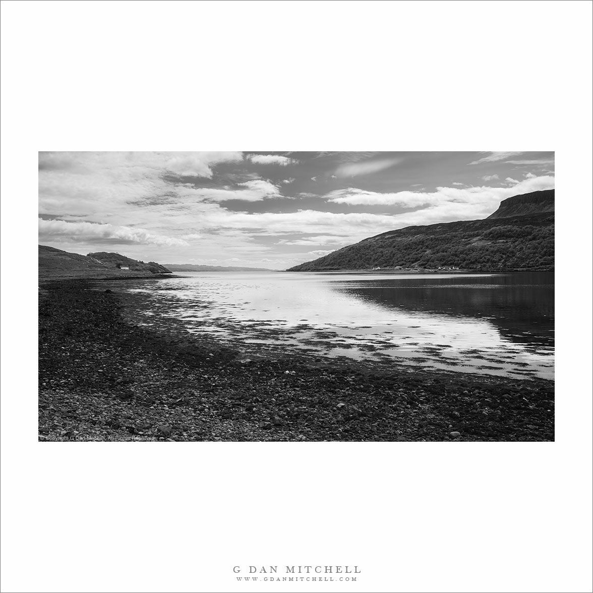
“Loch Slapin” — Loch Slapin, near the village of Torrin, on the road to Elgol, Scotland.
One surprising thing about the Isle of Skye and other parts of northwest Scotland is that mountainous landscape can be barely above sea level. I think it is a combination of the northern latitude and the rocky geology that gives us alpine summits rising directly from the coast. So I was constantly surprised and sometimes confused when we would drive though hills, past peaks, then come around a bend and see an ocean inlet like Loch Slapin.
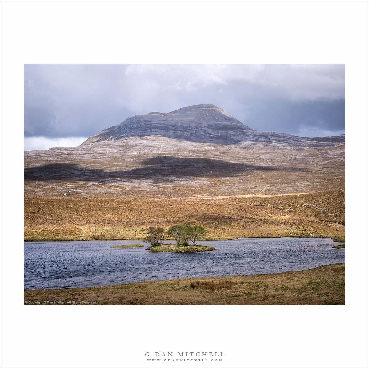
“Canisp and Loch Ewe — Canisp peak rises above Loch Ewe with a tree-covered island.
Some travelers like to know everything about their destinations before they depart. I can understand — one reason we travel is to learn about new places and, more practically, knowledge can help you travel efficiently. But I’m partial to not knowing everything in advance, instead leaving plenty of room for discovery. (Of course, it helps — a lot — that my wife is a planner!) The details of this photograph may be a case in point. (There has been an update to this post. Click the “more” link below to see… more.)
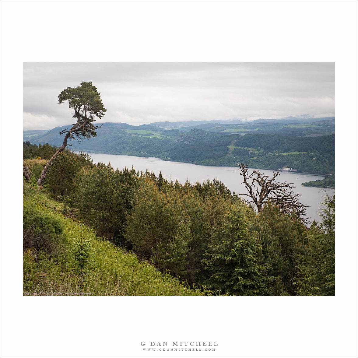
“Loch Ness From The Great Glen Way” — The view of Loch Ness from the high route of the Great Glen Way between Invermoriston and Drumnadrochit/Lewiston.
Scotland’s Great Glen Way, an 80-mile walking route between Fort William and Inverness, follows a nearly-straight valley or glen that runs from the southwest to the northeast. There are three lochs (or lakes) along the Glen — from south to north they are Loch Lochy, Loch Rich, and Loch Ness. They are interconnected via the remarkable structures of the Caledonian Canal, and watercraft can travel from end to end. Loch Ness, at the north end, is both the largest and the most famous of the lochs, in part because of the “Loch Ness Monster” tales. (I marvel at how the Scots can build an economy around Nessie, a non-existent thing!)
On this day’s walk — a long and exhausting one! — we traveled from Invermoriston to Drumnadrochit and its neighbor, Lewiston. This was one of the four days on which we had Loch Ness to our right. (Well, on one of them we hiked the section in reverse, so the loch was to our left.) Yes, it is that long! This view is from a section of the path that rose into forests high above the valley.
G Dan Mitchell is a California photographer and visual opportunist. His book, “California’s Fall Color: A Photographer’s Guide to Autumn in the Sierra” is available from Heyday Books, Amazon, and directly from G Dan Mitchell.
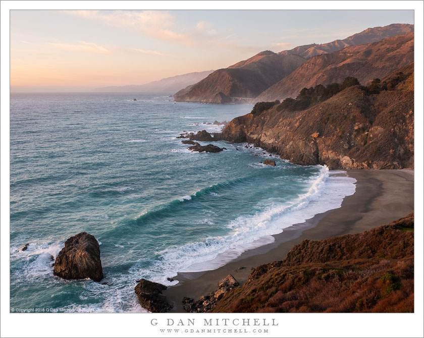
Winter surf rolls onto a Big Sur coastline beach at sunset.
The Big Sur coastline, along the Pacific Coast Highway between San Francisco and Southern California is — not a secret! — a spectacular place. It is also a place of contrasts — between land and sea, between calm summers and stormy winters, between wild surf and quieter times. A week ago I visited during high surf, with waves of up to forty feet high battering the shoreline. This time, as we took the look route back north from Los Angeles, the ocean was quiet.
Since we were driving through and photography wasn’t my primary reason for being there, we took the scenery as it came. During the final hour of daylight I began to think about finding a spot to stop and photograph the last few minutes of light. With ten minutes to spare we came around a headland and I saw this familiar scene of coastal mountains and bays extending to the north, with the Pacific Coast Highway (and one of its famous bridges) dwarfed by the landscape. I quickly found a spot along the edge of the bluff to set p my tripod, and I had a few minutes to photograph gentle evening color and coastal haze before an offshore cloud bank “turned out the lights.”
G Dan Mitchell is a California photographer and visual opportunist. His book, “California’s Fall Color: A Photographer’s Guide to Autumn in the Sierra” is available from Heyday Books and Amazon.
Photographer and visual opportunist. Daily photos since 2005, plus articles, reviews, news, and ideas.
Manage Consent
To provide the best experiences, we use technologies like cookies to store and/or access device information. Consenting to these technologies will allow us to process data such as browsing behavior or unique IDs on this site. Not consenting or withdrawing consent, may adversely affect certain features and functions.
Functional
Always active
The technical storage or access is strictly necessary for the legitimate purpose of enabling the use of a specific service explicitly requested by the subscriber or user, or for the sole purpose of carrying out the transmission of a communication over an electronic communications network.
Preferences
The technical storage or access is necessary for the legitimate purpose of storing preferences that are not requested by the subscriber or user.
Statistics
The technical storage or access that is used exclusively for statistical purposes.The technical storage or access that is used exclusively for anonymous statistical purposes. Without a subpoena, voluntary compliance on the part of your Internet Service Provider, or additional records from a third party, information stored or retrieved for this purpose alone cannot usually be used to identify you.
Marketing
The technical storage or access is required to create user profiles to send advertising, or to track the user on a website or across several websites for similar marketing purposes.