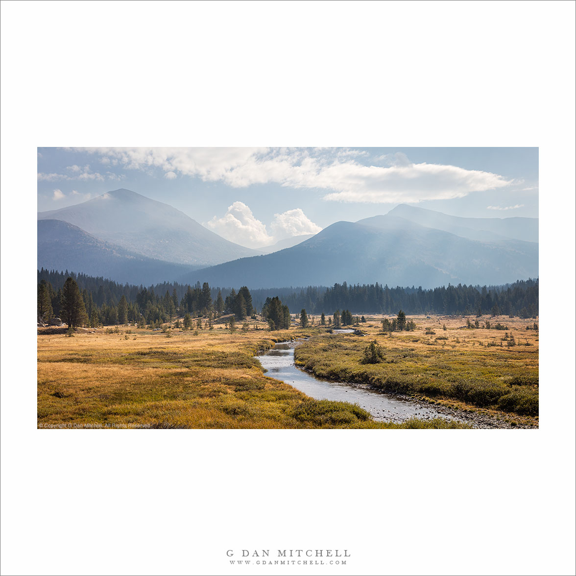
During most of the summer months, after the snow clears out (usually) by June, this meadow is a green place, often sunny, warm and inviting. I’ve been known to wander out into it and sit on the banks of the river or perch myself on a rock to admire the view. But as summer ends and autumn approaches, things change — the meadow becomes dry, temperatures begin to moderate, and before long it is clear that the brief summer season is ending.
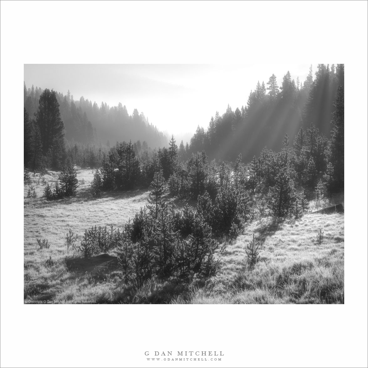
This was one of those “autumn is coming” mornings. I arrived to find low fog drifting above frost-covered ground. I had to work quickly as this kind of fog usually doesn’t stick around for long, and the frost would melt when the sun rose. But for a few moments in this predawn light, it truly felt like winter in this meadow.
Leave a comment or question using the form. (If you are reading this on the home page, click the article title to see the full article and the comment form.
G Dan Mitchell is a California photographer and visual opportunist. His book, “California’s Fall Color: A Photographer’s Guide to Autumn in the Sierra” (Heyday Books) is available directly from him. Blog | Bluesky | Mastodon | Substack Notes | Flickr | Email
All media © Copyright G Dan Mitchell and others.