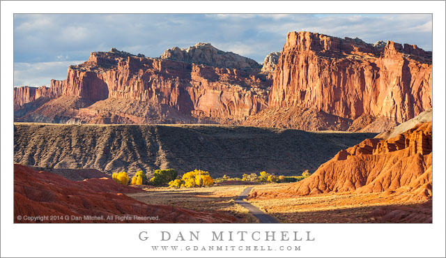
Redrock Country, Near Fruita. Capitol Reef National Park, Utah. October 20, 2014. © Copyright 2014 G Dan Mitchell – all rights reserved.
Cliffs and eroded towers near Fruita, Capitol Reef National Park
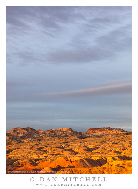
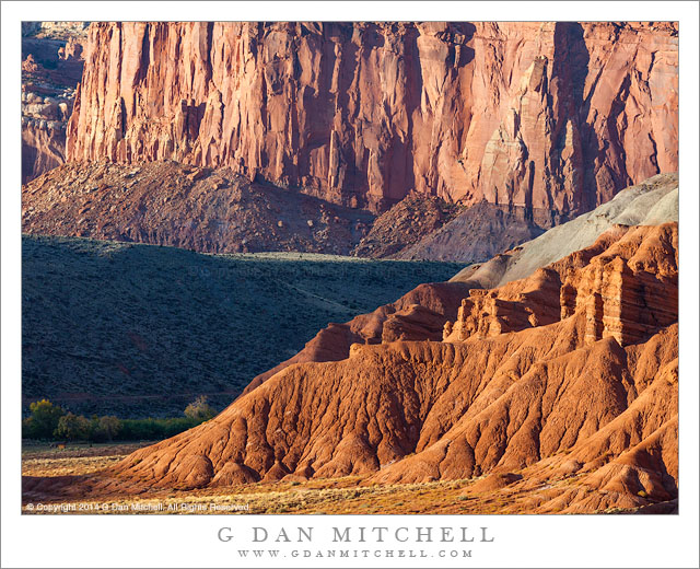
I’m a sucker for juxtapositions of mountains and cliffs, and sunlit and shadowed surfaces. (In fact, “juxtaposition” is a word I think about a lot when making photographs.) This part of the world provides these juxtapositions with a vengeance. Everywhere in the red rock country of the Southwest there are sandstone walls, lined up, building one on top of the other, standing in front of and behind each other, layered with eroded rock and soil, standing above valleys and beyond lower ridges.
We had only a brief time to photograph on this first afternoon in Capitol Reef National Park. I had arrived in the middle of the afternoon and then busied myself with setting up a tent and a few other camp chores, plus catching up on the news with my friend Dave. By the time all of these important things had been taken care of the sun was rapidly dropping toward the horizon, so we quickly headed to a nearby area to see what sort of late-day light we could find. Literally within minutes of leaving our campground (which is just to the right of the shadowed trees visible in the lower part of the photograph) we came upon this intense and saturated late-day light, with shadows starting to stretch across the valley and the low foreground ridges.
 G Dan Mitchell is a California photographer and visual opportunist. Blog | About | Flickr | Twitter | Facebook | Google+ | 500px.com | LinkedIn | Email
All media © Copyright G Dan Mitchell and others as indicated. Any use requires advance permission from G Dan Mitchell.