
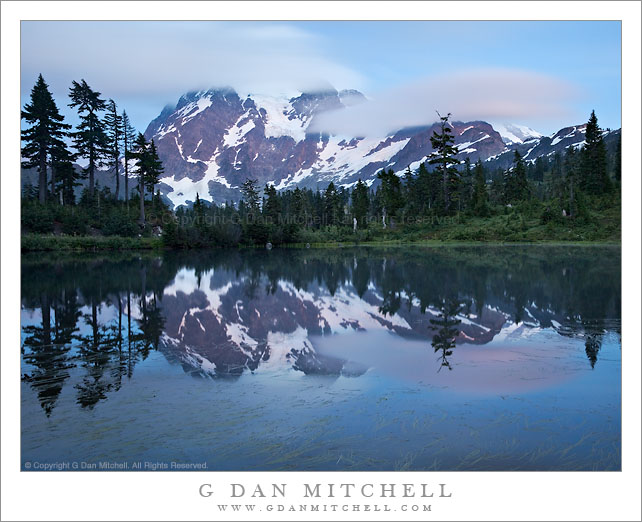
Tag Archives: forest

Lodgepole Forest, First Light

Lodgepole Forest, First Light

Lodgepole Forest, First Light. Yosemite National Park, California. July 23, 2010. © Copyright 2010 G Dan Mitchell – all rights reserved.

First morning light touches the tops of lodgepole pines in a lakeside forest, Yosemite National Park, California.

This bit of dense lodgepole pine forest is on the far shore of an easily-visited lake along Tioga Pass Road, and I like to photograph it when the morning light is just starting to make its way over the tops of the surrounding mountains and it begins to touch the first trees along the lake shore.

This photograph is not in the public domain and may not be used on websites, blogs, or in other media without advance permission from G Dan Mitchell.

G Dan Mitchell Photography
About | Flickr | Twitter | Facebook | Google+ | 500px.com | LinkedIn | Email

Text, photographs, and other media are © Copyright G Dan Mitchell (or others when indicated) and are not in the public domain and may not be used on websites, blogs, or in other media without advance permission from G Dan Mitchell.

(Basic EXIF data is available by “mousing over” large images in blog posts. Leave a comment if you want to know more.)


Young Trees and Pond, Dana Meadows

Young Trees and Pond, Dana Meadows

Young Trees and Pond, Dana Meadows. Yosemite National Park, California. July 22, 2010. © Copyright G Dan Mitchell – all rights reserved.

Young lodgpole pines grow in front of a Dana Meadows pond as Mammoth Peak looms in the distance.

Late in July of this somewhat wet year, the portion of Dana Meadows that extends almost up to the top of Tioga Pass was still very green and a bit wet, with small streams flowing through it and seasonal tarns still full. Being careful to avoid the boggy spots, I wandered down in to this section of the meadow near where the old roadbed is still visible and found small ponds and young trees trying to infiltrate the meadow. Here the pond reflects clouds floating towards Mammoth Peak, the high point at the end of Kuna Crest, on the other side of which is found the Lyell fork of the Tuolumne River.

This photograph is not in the public domain and may not be used on websites, blogs, or in other media without advance permission from G Dan Mitchell.

G Dan Mitchell Photography | Twitter | Friendfeed | Facebook | Facebook Fan Page | Email
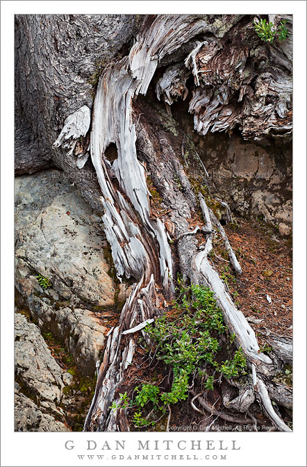
Afternoon, Upper Bubbs Creek

Afternoon, Upper Bubbs Creek

Afternoon, Upper Bubbs Creek. Kings Canyon National Park, California. July 31, 2010. © Copyright G Dan Mitchell – all rights reserved.

Late afternoon light on the forest and distant peaks on Upper Bubbs Creek, Kings Canyon National Park.

Since this photograph comes from an entirely different adventure, a bit of background information is probably in order. Among my summer pack trips, each year I join my friends from the talusdancers, a loosely connected group of folks who like to backpack, for at least one “big trip” in the Sierra. I’ve been doing this for nearly 15 years now. This year’s trip revisited some familiar spots (Tyndall Creek in the upper Kern), some that I had not visited for quite a few years (Forrester Pass), and one area that I have never before visited despite thinking about it for over 30 years (Milestone Basin and the Lake South America area). Near the end of July we headed out of Onion Valley to cross Kearsarge Pass, turned south to enter the Upper Kern River drainage via Forrester Pass, explored there for a few day, and then exited by way of brutal Shepherd Pass.

Forrester Pass is the second-highest point on the John Muir Trail (or “the JMT,” as most refer to it) at 13,200′, and we planned to cross it from north to south on the third day of our trip. At the end of day two we dropped down to Vidette Meadow and then headed up canyon to upper Bubbs Creek where the old Center Basin trail splits off from the main JMT where we made camp. This photograph was made in the late afternoon as we lazed about, doing a bit of laundry and thinking about the big climb ahead of us the next day. The view beyond the foreground and the closer trees is back down the canyon of Bubbs Creek, with the lowering sun lighting the canyon walls.

This photograph is not in the public domain and may not be used on websites, blogs, or in other media without advance permission from G Dan Mitchell.

G Dan Mitchell Photography | Twitter | Friendfeed | Facebook | Facebook Fan Page | Email

Storm Cell Over Mount Dana, Sunset

Storm Cell Over Mount Dana, Sunset

Storm Cell Over Mount Dana, Sunset. Tuolumne Meadows, Yosemite National Park, California. July 24, 2010. © Copyright G Dan Mitchell – all rights reserved.

An evening storm cell winds down over Mount Dana beyond Tuolumne Meadows, Yosemite National Park, California.

This is a wider view of a scene I photographed in late July on an evening when thunderstorm cells were floating around the Sierra Nevada crest east of Tuolumne Meadows. This cell had conveniently centered itself directly above and behind Mount Dana, the highest peak on this section of the crest right above Tioga Pass, and was dropping virga (rain that doesn’t make it to the ground) over the peak in the sunset light.

It seemed odd that I was the only photographer out in the meadow on this evening!

This photograph is not in the public domain and may not be used on websites, blogs, or in other media without advance permission from G Dan Mitchell.

G Dan Mitchell Photography | Twitter | Friendfeed | Facebook | Facebook Fan Page | Email
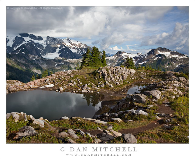
keywords: tuolumne, meadows, river, pool, reflection, grass, rock, yosemite, national, park, california, usa, north america, forest, sierra, nevada, mountain, range, mount, dana, lembert, dome, storm, cloud, evening, cell, clouds, sunset, light, sky, virga, trees, travel, scenic, landscape, nature, tioga, pass, road, stock