
Tag Archives: mount

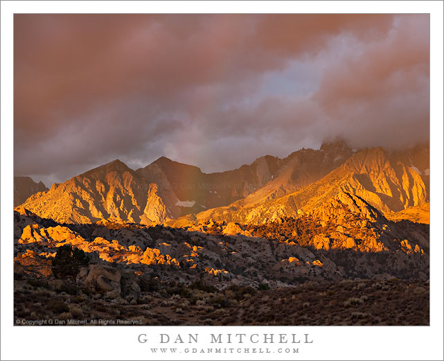
McGee Mountain and Little Alkali Lake, Dawn

McGee Mountain and Little Alkali Lake, Dawn

McGee Mountain and Little Alkali Lake, Dawn. Owens Valley, California. October 10, 2010. © Copyright G Dan Mitchell – all rights reserved.

Dawn light in the eastern Sierra on McGee Mountain, reflected in Little Alkali Lake, Owens Valley, California.

There are higher peaks along the eastern escarpment of the Sierra Nevada – much higher! – but I can think of few that catch the dawn light more beautifully than McGee Mountain just north of McGee Creek in the area around Mammoth Lakes and Crowley Lake. The slopes of the mountain are open without obstruction to the dawn light as it works its way down from the peaks, and the light passes across the face and accents the relief of alternating valleys and aretes. On this early October morning an early season storm had left the upper slopes covered with snow, and beyond the slopes of McGee Creek Canyon leading up toward Mount Morgan are still in shade.

I photographed this scene from well out into Owens Valley, where I was almost alone apart from an occasional car passing by on the distant road – and apart from the bellowing beasts in a nearby herd of cattle! Steam rises from some of the many hot springs in this geothermally-active area of the eastern Sierra, and a bit of mist floats above the reflective surface of this alkali lake.

This photograph is not in the public domain and may not be used on websites, blogs, or in other media without advance permission from G Dan Mitchell.

G Dan Mitchell Photography | Twitter | Friendfeed | Facebook | Facebook Fan Page | Email
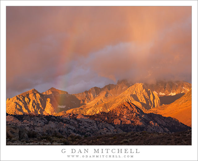
Mount Morgan and Slopes of McGee Mountain, Morning

Mount Morgan and Slopes of McGee Mountain, Morning

Mount Morgan and Slopes of McGee Mountain, Morning. Owens Valley, California. October 10, 2010. © Copyright G Dan Mitchell – all rights reserved.

Morning light on the lower slopes of McGee Mountain, the McGee Creek Canyon area and snow-capped Mount Morgan, with Owens Valley sagebrush and hills in the foreground.

I began my early morning shoot in Owens Valley near a small lake further to the east where I wanted to photograph dawn light. I had a plan to shoot a few other subjects in the valley and back toward the Sierra crest as the sun rose and the light changed, and part of this plan included driving along a gravel road I know to a spot where I had photographed before to try to combine the high desert sagebrush and rolling hills with some of the tall and rugged, snow-topped peaks along the escarpment of the eastern Sierra. I found a spot in the general area of where I wanted to photograph and then wandered off down a small dirt track to find a location that would put the foreground shadow across the lower part of the frame.

The area of the Sierra in this photograph includes the sunlit lower slopes of McGee Mountain on the right, McGee Creek Canyon beyond that, and ridges leading to the snow-capped summit of Mount Morgan. I’m not certain whether they are visible in this photograph, but beyond that lies Pioneer Basin (on the other side of the crest) and a group of four peaks named for the “Railroad Barons” of the 1800s: Crocker, Stanford, Huntington, and Hopkins.

This photograph is not in the public domain and may not be used on websites, blogs, or in other media without advance permission from G Dan Mitchell.

G Dan Mitchell Photography | Twitter | Friendfeed | Facebook | Facebook Fan Page | Email
keywords: owens, valley, sage, sagebrush, hills, high, desert, mount, morgan, snow, capped, peak, ridg

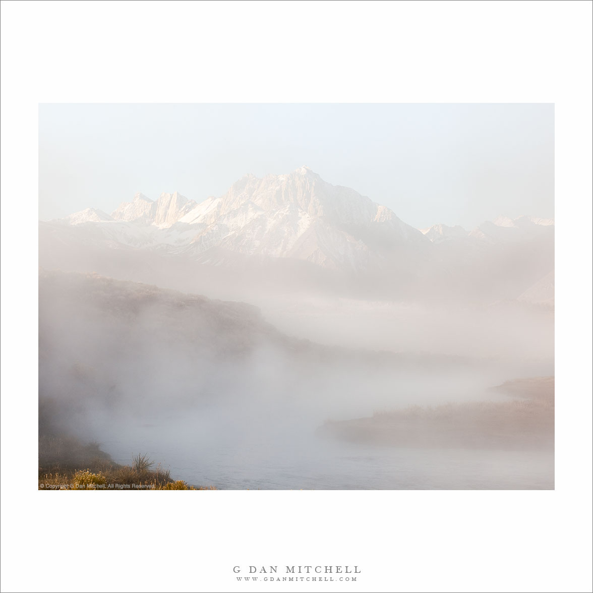
Eastern Sierra Nevada, Alkali Lake, Dawn

Eastern Sierra Nevada, Alkali Lake, Dawn

Eastern Sierra Nevada, Alkali Lake, Dawn. Owens Valley, California. October 10, 2010. © Copyright G Dan Mitchell – all rights reserved.

Snow-dusted peaks of the eastern Sierra Nevada near Mammoth Lakes illuminated by dawn light and reflected in the surface of an Owens Valley alkali lake.

I like to stay flexible when I photograph so even though my original reason for traveling to the eastern Sierra was to photograph fall aspen color, when it seemed that other subjects might be just as interesting I switched gears and headed out into Owens Valley to photograph this high desert region and the morning views from there of the eastern escarpment of the Sierra Nevada. I first got this idea the previous morning while driving towards some prospective aspen color before dawn when I saw the outlines of fog over Crowley Lake and other areas of the valley. I ended up shooting along Hot Creek as fog rose from the water and the Sierra crest broke through in the distance. (Photos of that scene will likely appear here later on.) On my way to Hot Creek I passed this lake and decided not to stop since it looked like photography workshop participants were already crowded along one shore.

The next morning I once again thought that I’d start my day out in Owens Valley. This time I went straight to this lake – which I believe is known as “Little Alkali Lake” – and found it completely deserted and the water totally still. It remained that way as I made my way to the far shore and set up before sunrise. In this part of Owens Valley, on cold mornings there are clouds and columns of steam rising all around, coming from the many hot springs that remind one of the volcanic forces hidden just below the surface of this area. Some of the steam sources are visible across the lake in the photograph. Soon the dawn light began to touch the highest peaks and then work its way down toward the rolling hills of the valley floor, reflected in the smooth water of this small lake. This part of the Sierra includes an impressive group of peaks including Mounts Morrison, Baldwin, and Morgan along with McGee Mountain.

This photograph is not in the public domain and may not be used on websites, blogs, or in other media without advance permission from G Dan Mitchell.

G Dan Mitchell Photography | Twitter | Friendfeed | Facebook | Facebook Fan Page | Email
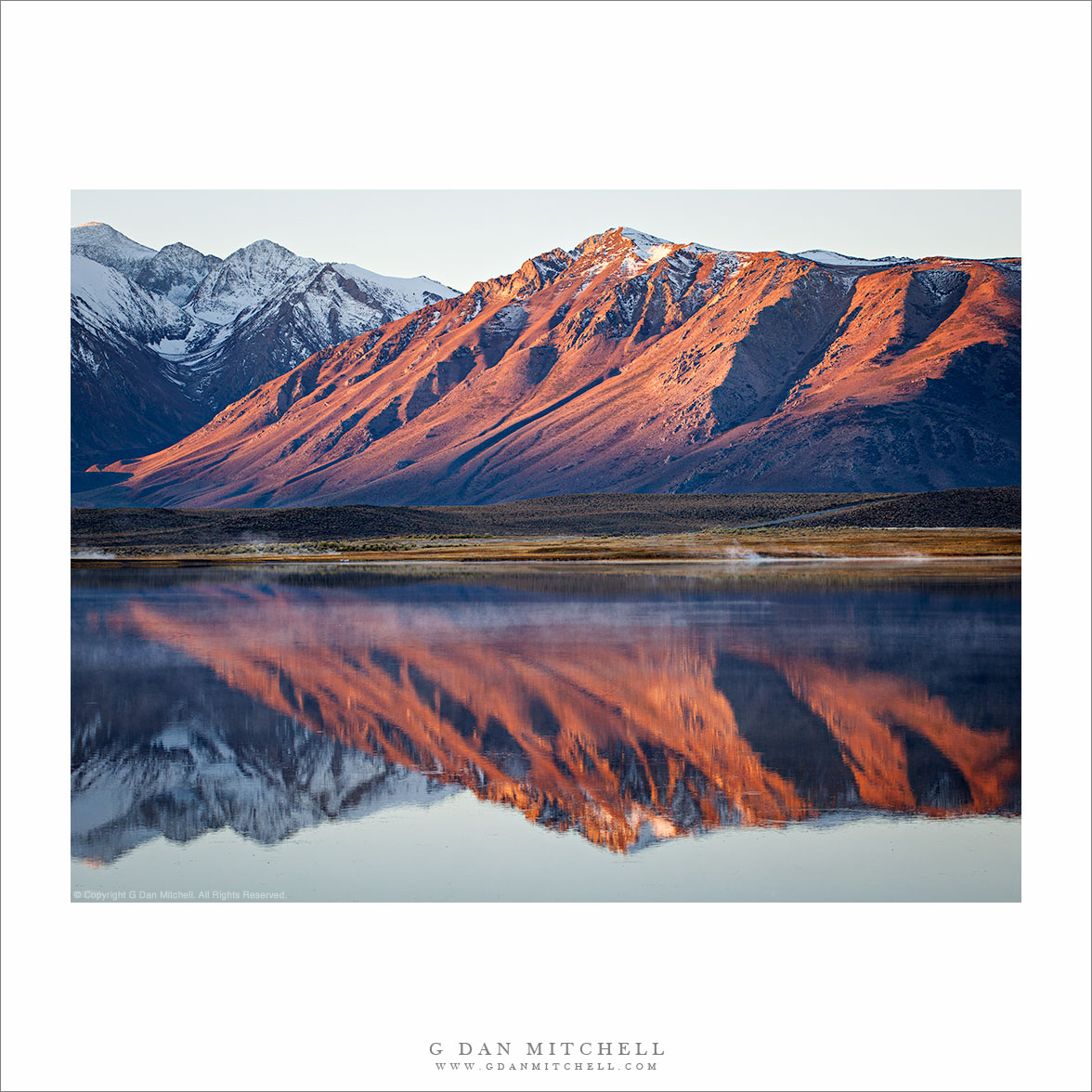
Trees and Boulders, Artist Point

Trees and Boulders, Artist Point

Trees and Boulders, Artist Point. Mt. Baker-Snoqualmie National Forest, Washington. August 28, 2010. © Copyright G Dan Mitchell – all rights reserved.

Ridgetop trees and boulders along the trail catch the afternoon light at Artist Point, Mt. Baker-Snoqualmie National Forest, Washington.

I had been admiring this steep, rugged, and distant ridge all afternoon, starting with our first shooting location down lower on the mountain. As we hiked up the Artist Point trail, we took a detour to the right and I noticed this low rocky ridge covered with trees and the ridge in the distance. At first I couldn’t quite see a shot and I looked elsewhere, but soon I came back to this spot and thought that something with the foreground rocks and trees along with the clouds and more distant ridge might be interesting – but as soon as I saw this a large cloud floated over and blocked the sun from my position, leaving the nearby trees and rocks in shade!

Sometimes when this happens it makes more sense to move on and look for a photograph that works with the conditions you have, but other times it can be worth waiting. It is hard to know for sure which is right, but I decided to set up and sit tight, waiting to see if the light would improve. The light shining around the edge of the cloud was tantalizingly close, but the cloud was stubborn about moving. At one point the light increased a bit for perhaps 15-20 seconds, but then quickly went away. I continued to wait. Finally, the light began to gradually increase, and I got about one minute or less of sun before the cloud again blocked the light – but this was long enough to make a few exposures of this scene.

I have a favor to ask of anyone who is familiar with this area – help in identifying the trees and, even more, help in identifying/naming the distant ridge and the peaks that sit on it. I’m not great at plant identification, but I’m really out of my league in the Cascades. One person walking by as I made the shot seemed to think that the trees are mountain hemlock – but I’d be grateful if anyone can confirm this… or set me straight. Although I was impressed with the peaks on the ridge in the distance in this photograph… I do not have any Washington topographical maps or guide books, so I’m completely in the dark about what to call this ridge or the peaks. Here, too, I would be grateful if anyone can help me identify the ridge, the peaks, and any other important features in the photograph.

Update: A Facebook reader shared information about the peaks on the distant ridge in this photograph…

Alan Majchrowicz writes: “From left to right, Tomyhoi Peak, Canadian and American Border Peaks, Larrabee Mountain. Nice photo Dan, hope I can break away this week and spend some time up there!”

This photograph is not in the public domain and may not be used on websites, blogs, or in other media without advance permission from G Dan Mitchell.

G Dan Mitchell Photography | Twitter | Friendfeed | Facebook | Facebook Fan Page | Email