Tag Archives: reyes

Point Reyes, Clearing Fog

Point Reyes, Clearing Fog
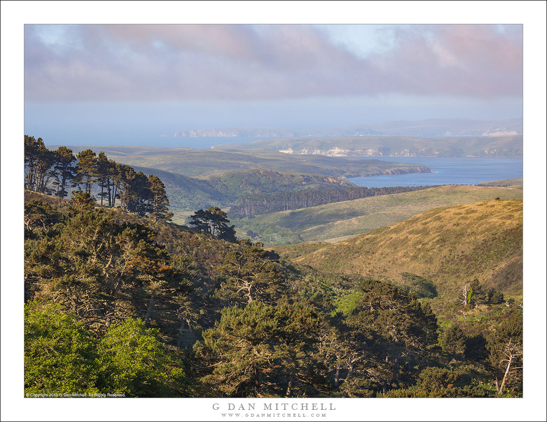
Morning fog clears aove the hills and bays of Point Reyes National Seashore.

Point Reyes, Clearing Fog. © Copyright 2013 G Dan Mitchell – all rights reserved.

Morning fog clears aove the hills and bays of Point Reyes National Seashore.

Living in the greater San Francisco Bay Area, the Point Reyes National Seashore is merely a longish day trip for me. I haven’t been there since the onset of the pandemic, but in more normal times I make up there during every season of the year — mostly to photograph, but also to see the elephant seals, to escape inland heat… and to stop for morning pasty and coffee at Point Reyes Station.

The park mostly wraps itself along and around Drakes Bay, with the “point” being the furthest terminus of a long peninsula extending into the Pacific Ocean. To make this photograph I stopped near the base of that peninsula and drove up a narrow road toward a high point on the ridge that runs roughly parallel to Tomales Bay. From here I could look across nearby tree-covered hills, past the lower rolling hills, over Drakes Estero, and toward Point Reyes, barely visible in the thinning morning fog.


G Dan Mitchell is a California photographer and visual opportunist. His book, “California’s Fall Color: A Photographer’s Guide to Autumn in the Sierra” is available from Heyday Books, Amazon, and directly from G Dan Mitchell.

Blog | About | Flickr | FacebookEmail

Links to Articles, Sales and Licensing, my Sierra Nevada Fall Color book, Contact Information.

Scroll down to leave a comment or question.


All media © Copyright G Dan Mitchell and others as indicated. Any use requires advance permission from G Dan Mitchell.

Cloud Shadows and Fog

Cloud Shadows and Fog
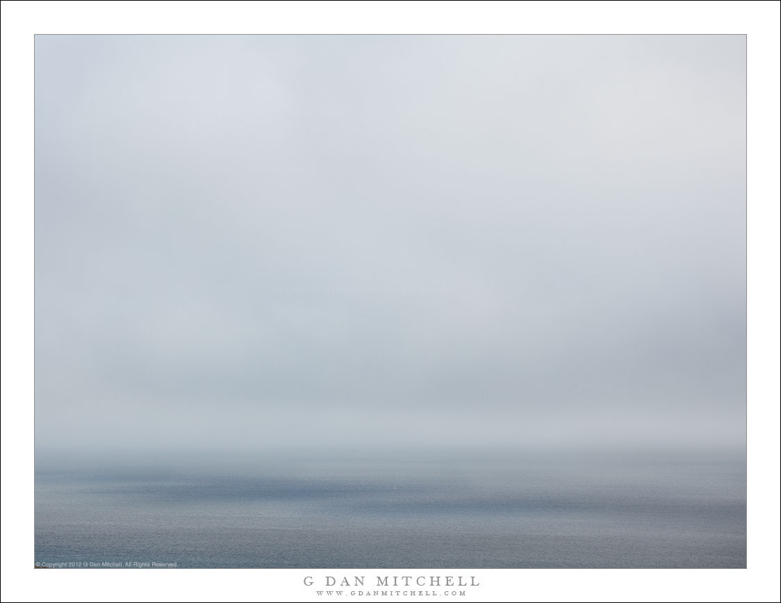
Cloud shadows on the surface of the Pacific Ocean off of Point Reyes National Seashore.

Cloud Shadows and Fog. © Copyright 2012 G Dan Mitchell – all rights reserved.

A cloud shadow on the surface of the Pacific Ocean off of Point Reyes National Seashore.

This is a rather subtle landscape or seascape photograph, perhaps to the point of minimalism. I made it on a foggy afternoon along the interior of Drakes Bay at the Point Reyes National Seashore. The fog had thinned a bit by this time, but it was obstinate enough that it had not lifted even in the afternoon. Some light was coming though the cloud deck but it was extremely diffused — though it had enough directionality and the fog enough luminosity to lay a subtle shadow across the water below a thicker line of clouds.

Days like this one are slow, quiet, and mysterious along the Pacific Coast. The scale of the landscape diminishes to some extend and the “clear to the horizon” views are gone, as is the dome of the sky. From high locations such as the one from which I made the photograph, even the sound of the surf is muted.


G Dan Mitchell is a California photographer and visual opportunist. His book, “California’s Fall Color: A Photographer’s Guide to Autumn in the Sierra” is available from Heyday Books and Amazon.

Blog | About | Flickr | FacebookEmail

Links to Articles, Sales and Licensing, my Sierra Nevada Fall Color book, Contact Information.

Scroll down to leave a comment or question.


All media © Copyright G Dan Mitchell and others as indicated. Any use requires advance permission from G Dan Mitchell.
Pacific Shoreline, Point Reyes

Pacific Shoreline, Point Reyes
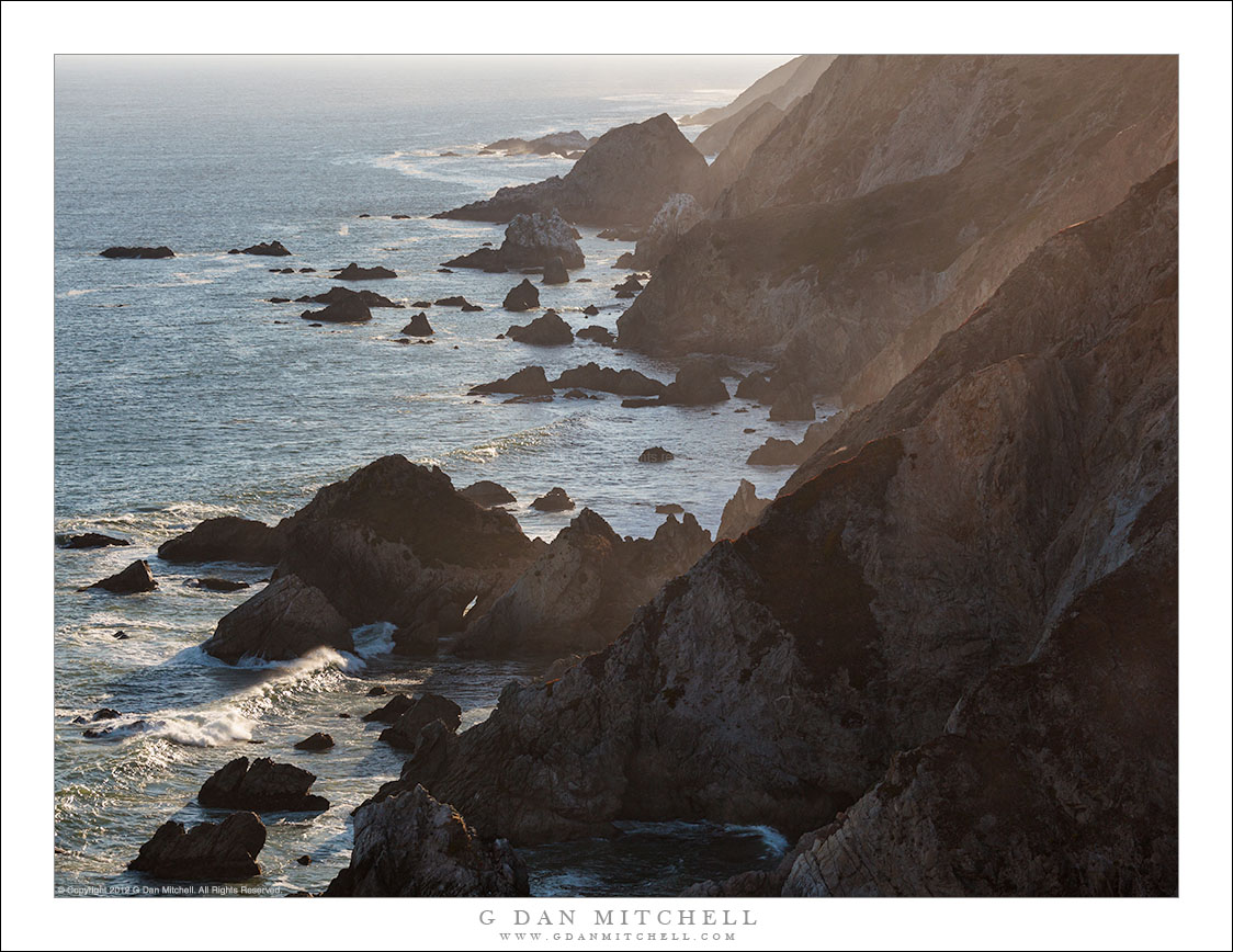
Rugged Pacific Ocean coastline at the furthest end of Point Reyes.

Pacific Shoreline, Point Reyes. © Copyright 2012 G Dan Mitchell – all rights reserved.

Rugged Pacific Ocean coastline at the furthest end of Point Reyes.

This photograph is literally of “Point Reyes,” as in the actual “point” after which the national seashore is named. It is a remarkable location in many ways. This peninsula extends a good distance out into the Pacific Ocean, and it forms a large bay that is protected from the ocean to the west and north. From the Point you can see south to San Francisco Bay, a good distance north along the Pacific coastline, eastward across that bay toward what would be the coast in most locations, and westward to the horizon. This section runs east-west, and its features echo those along the most rugged sections of the main Pacific coastline. But this section is short, exerting only the length of the end of the Point, and it runs not north-south. but east west.

During the past four months of the pandemic I have not ventured too far from our location in the San Francisco Bay Area, largely because such travels have been discouraged. But I’m beginning to think that I could again safely (for myself and others) venture out to the coast for some new photography before long. Stay tuned…


G Dan Mitchell is a California photographer and visual opportunist. His book, “California’s Fall Color: A Photographer’s Guide to Autumn in the Sierra” is available from Heyday Books and Amazon.

Blog | About | Flickr | FacebookEmail

Links to Articles, Sales and Licensing, my Sierra Nevada Fall Color book, Contact Information.

Scroll down to leave a comment or question.


All media © Copyright G Dan Mitchell and others as indicated. Any use requires advance permission from G Dan Mitchell.
Bluff, Tidal Flats, Tomales Bay

Bluff, Tidal Flats, Tomales Bay
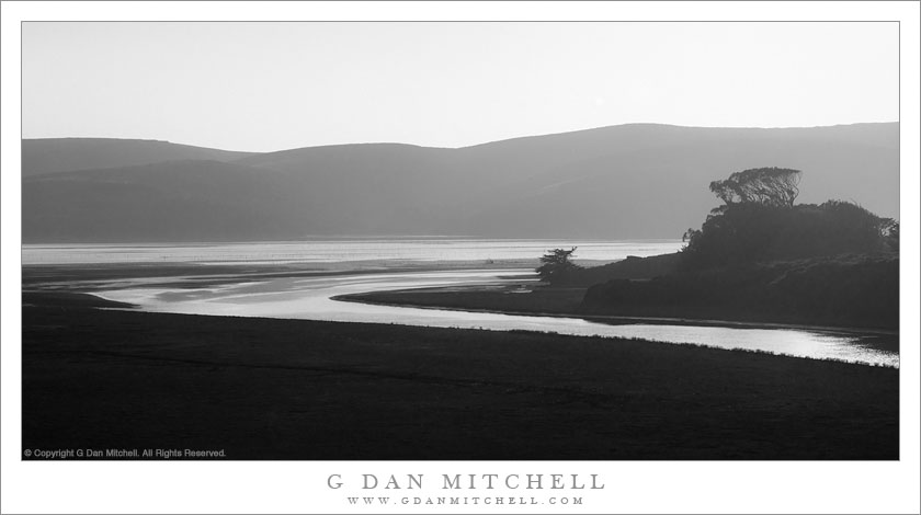
Evening along the shoreline of Tomales Bay

Bluff, Tidal Flats, Tomales Bay. Near Point Reyes National Seashore, California. October 15, 2017. © Copyright 2017 G Dan Mitchell – all rights reserved.

Evening along the shoreline of Tomales Bay

This is another photograph from our very recent visit to areas of California just north of San Francisco. If you follow the news, that description perhaps calls to mind the recent (and current, as I write this) major wildfires burning in California, including the disastrous fire in the Santa Rosa area that killed dozens of people and destroyed thousands of homes and other structures. In fact, we were very close to that area on this trip. We might not have gone at all, except that one of the reasons for going there was to participate in a wedding — and since the wedding went on despite the first, we went. We had planned a few days after that for photography, and we decided to stick to that plan, too.

The effects of the fires were obvious in many ways: signs in shops and elsewhere about people needing a place to stay or raising funds for fire relief, the traffic heading to the coast to try to find relief from the smoke, and the constant presence of that smoke in the air. We ended up doing much less photography than we usually would, but on one day we did manage to make a few photographs. We had driven north up that coast a ways, turning around just north of Jenner where the smoke became quite severe, and we were returning to the area around Point Reyes National Seashore. We arrived alongside upper Tomales Bay, which separates Point Reyes from the rest of California, not long before sunset. Here the smoke thinned a bit, mostly just producing some atmospheric haze, and the scene was quiet and still in the early evening light.


G Dan Mitchell is a California photographer and visual opportunist. His book, “California’s Fall Color: A Photographer’s Guide to Autumn in the Sierra” is available from Heyday Books and Amazon.
Blog | About | Flickr | Twitter | FacebookGoogle+ | LinkedIn | Email


All media © Copyright G Dan Mitchell and others as indicated. Any use requires advance permission from G Dan Mitchell.