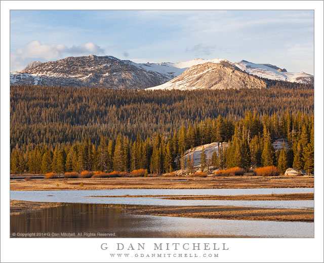
Spring Flooding, Tuolumne Meadows. Yosemite National Park, California. May 4, 2014. © Copyright 2014 G Dan Mitchell – all rights reserved.
The Tuolumne River overflows its banks on a spring evening, Tuolumne Meadows
This is another, slightly different view of a scene that I shared recently, photographed at Tuolumne Meadows on the weekend when Tioga Pass Road over the Sierra crest opened for the 2014 season. As is my habit, I broke free and made it up there to celebrate the beginning of a new high country season. It was a quick trip—a 21 hour 550 mile drive that took me across the range to the Mono Lake area and some nearby sights on the “east side.” Later in the day I reversed course and headed back up to Tioga Pass and began my homeward trip, stopping to spend a good part of the evening in Tuolumne Meadows, where strong wind blew as the golden hour light began to develop.
This scene is full of things that I know well. I have visited the general area of Tuolumne Meadows since I was a child and my father took me and one of my brothers up there on the first camping trip that I can remember. Every spring (or early summer in wet years) when I return I look for this area of the meadow where the Tuolumne River overflows its banks and produces a temporary lake, even in a very dry year like this one. On a number of occasions I have hiked on a trail that crosses from right to left just below the bright granite peak in the upper left, heading for a pass below Ragged Peak and then on to Young Lakes, which lie just beyond that highest ridge. (Just below and to the left of the granite peak lies a beautiful area of subalpine meadow with scattered rocks and extensive fields of lupine.) On this evening there were few people in the meadow, as the campground was not yet open and not many people were still up here so late in the day, so I was able to wait quietly for the clouds and the light to line up just right.
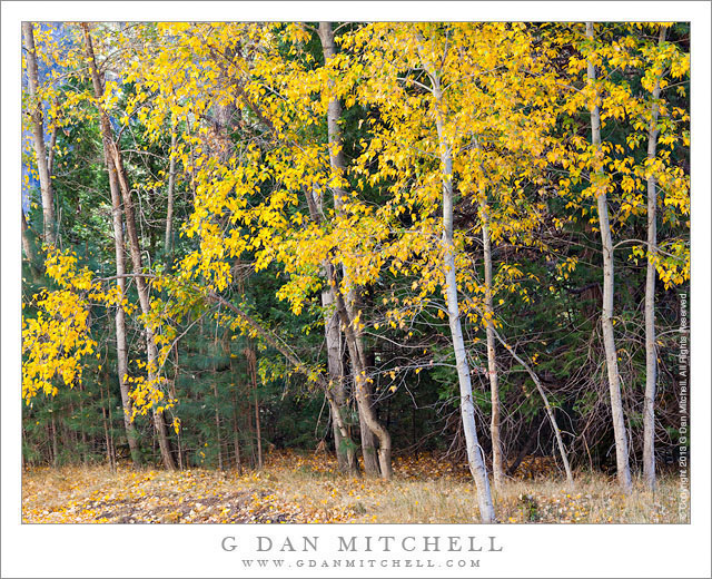
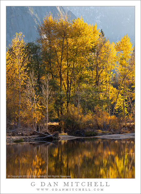
 G Dan Mitchell is a California photographer and visual opportunist whose subjects include the Pacific coast, redwood forests, central California oak/grasslands, the Sierra Nevada, California deserts, urban landscapes, night photography, and more.
Blog | About | Flickr | Twitter | Facebook | Google+ | 500px.com | LinkedIn | Email
Text, photographs, and other media are © Copyright G Dan Mitchell (or others when indicated) and are not in the public domain and may not be used on websites, blogs, or in other media without advance permission from G Dan Mitchell.