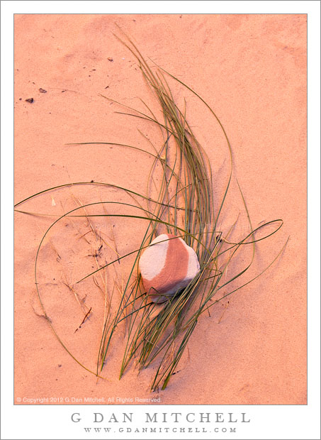
Striped Rock, Grass, and Sand. Grand Staircase-Escalante National Monument, Utah. October 23, 2012. © Copyright 2012 G Dan Mitchell – all rights reserved.
A striped rock atop grasses flattened against the sand in the bottom of a slot canyon, Grand Staircase-Escalent National Monument.
I made this photograph in the first canyon we investigated during my late-October 2012 visit to Utah with photographer friends. We drove up a long gravel road and pulled off at a wide spot to find the creek that came out of this canyon, which we followed a good distance upstream. Believe it or not, this was the first time that I had hiked such a canyon and it was exciting to move from imagining the experience to actually doing it! We started out by essentially walking up the creek bed though the flats below where it left the canyon, wading through shallow water and little sand bars. Soon we entered the canyon itself and the “path” involved walking alongside the creek, frequently crossing from one side of the stream to the other to avoid obstacles, and sometimes just walking right up the stream bed, as that often provided the clearest path.
In the location where I made this photograph, the light became very red as it reflected between the upper sandstone canyon walls, and although I was shooting in the shade I had unusually warm toned light to work with. The sand here comes from – no surprise! – sandstone, and was very red in places. This bit of sand had been smoothed by the passage of higher water which had also flattened the grasses and wrapped them around this small rock with its bright red stripe.
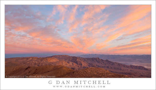
 G Dan Mitchell is a California photographer and visual opportunist whose subjects include the Pacific coast, redwood forests, central California oak/grasslands, the Sierra Nevada, California deserts, urban landscapes, night photography, and more.
Blog | About | Flickr | Twitter | Facebook | Google+ | 500px.com | LinkedIn | Email
Text, photographs, and other media are © Copyright G Dan Mitchell (or others when indicated) and are not in the public domain and may not be used on websites, blogs, or in other media without advance permission from G Dan Mitchell.