Tag Archives: ridge

Afternoon, Upper Bubbs Creek

Afternoon, Upper Bubbs Creek

Afternoon, Upper Bubbs Creek. Kings Canyon National Park, California. July 31, 2010. © Copyright G Dan Mitchell – all rights reserved.

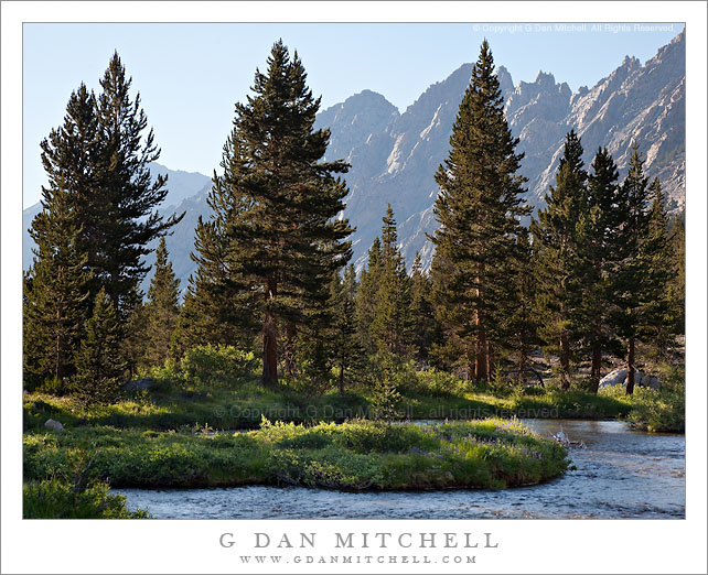
Late afternoon light on the forest and distant peaks on Upper Bubbs Creek, Kings Canyon National Park.

Since this photograph comes from an entirely different adventure, a bit of background information is probably in order. Among my summer pack trips, each year I join my friends from the talusdancers, a loosely connected group of folks who like to backpack, for at least one “big trip” in the Sierra. I’ve been doing this for nearly 15 years now. This year’s trip revisited some familiar spots (Tyndall Creek in the upper Kern), some that I had not visited for quite a few years (Forrester Pass), and one area that I have never before visited despite thinking about it for over 30 years (Milestone Basin and the Lake South America area). Near the end of July we headed out of Onion Valley to cross Kearsarge Pass, turned south to enter the Upper Kern River drainage via Forrester Pass, explored there for a few day, and then exited by way of brutal Shepherd Pass.

Forrester Pass is the second-highest point on the John Muir Trail (or “the JMT,” as most refer to it) at 13,200′, and we planned to cross it from north to south on the third day of our trip. At the end of day two we dropped down to Vidette Meadow and then headed up canyon to upper Bubbs Creek where the old Center Basin trail splits off from the main JMT where we made camp. This photograph was made in the late afternoon as we lazed about, doing a bit of laundry and thinking about the big climb ahead of us the next day. The view beyond the foreground and the closer trees is back down the canyon of Bubbs Creek, with the lowering sun lighting the canyon walls.

This photograph is not in the public domain and may not be used on websites, blogs, or in other media without advance permission from G Dan Mitchell.

G Dan Mitchell Photography | Twitter | Friendfeed | Facebook | Facebook Fan Page | Email

First Light Above Tenaya Lake

First Light Above Tenaya Lake

First Light Above Tenaya Lake. Yosemite National Park, California. July 23, 2010. © Copyright G Dan Mitchell – all rights reserved.

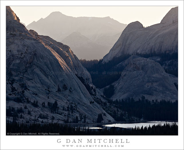
The first morning light begins to light the granite domes and peaks above Tenaya Lake in the high-country of Yosemite National Park, California.

Although it is still more or less pre-dawn in the forest down around Tenaya Lake, morning is well underway above where the distant summit of Mount Conness is in full sun and the light is beginning to strike the granite ridges and domes above the lake. I’m always amazed at how few people who are in the area manage to get out and see the special beauty of dawn in the Sierra.

This photograph is not in the public domain and may not be used on websites, blogs, or in other media without advance permission from G Dan Mitchell.

G Dan Mitchell Photography | Twitter | Friendfeed | Facebook | Facebook Fan Page | Email

keywords: tenaya, lake, first, light, dawn, morning, sun, shadow, pywiak, dome, peak, face, cliff, granite, ridge, conness, mount, forest, tree, tioga, pass, road, highway 120, yosemite, national, park, california, usa, north america, landscape, nature, scenic, travel, sierra, nevada, mountain, range, high, stock

Sunset Virga Above Mount Dana, Tuolumne Meadows

Sunset Virga Above Mount Dana, Tuolumne Meadows

Sunset Virga Above Mount Dana, Tuolumne Meadows. Yosemite National Park, California. July 24, 2010. © Copyright G Dan Mitchell – all rights reserved.

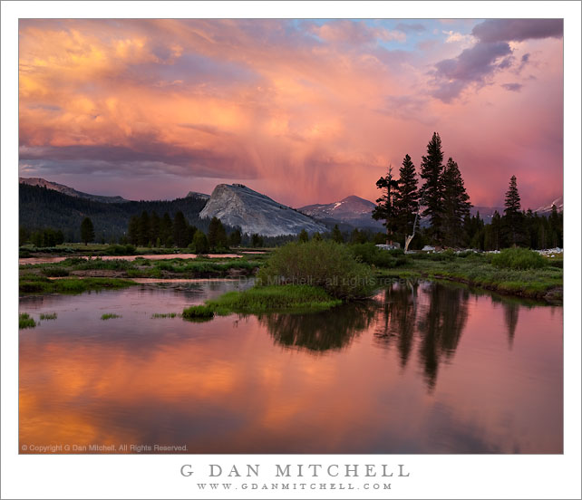
Sunset virga drops rain above the summit of Mount Dana and is reflected in a quiet pool of the Tuolumne River.

Earlier on this day I had been caught out without raingear, two hours out from the trailhead on the Sierra crest at Mono Pass, as the thunderstorms began. Apparently a change in the weather pattern had sneaked in without me noticing, and what started as a completely clear morning turned into an afternoon of thundershowers and quite a bit of rain in the Tuolumne region.

For a photographer, this can be good news. All too often, Sierra weather can be what seems like an interminable string of boring, perfect blue sky days. A bit of weather is often a lot more interesting.

Since it had rained all afternoon, I thought there might be a chance of interesting sunset colors if the clouds over the crest stuck around and the clouds to the west cleared enough to allow the light of the setting sun to shine in unimpeded. You almost never know for certain when it comes to these conditions – the best you can do is recognize when they might happen, and then be there to do your work if it happens. You’ll either get some great sunset color… or you’ll be left standing there wondering what happened.

Back in early June I had scouted this location that placed the group of three trees to the right of Lembert dome and placed a quiet pool of the Tuolumne River in the foreground. At that time, while I liked to the potential of the location, there was no interesting light and I did not even go back on that trip to photograph there – I just filed it away in my memory as something to try should I be there when sunset clouds were just right. So when I thought I saw “sunset potential” on this night, I more or less made a bee-line to this spot. I set up my gear, made a composition (and a few variations on it) and waited to see what would happen. Not only did the colors turn on just before sunset, but at that exact time a single cloud dropping virga (rain that doesn’t reach the ground) appeared above Mount Dana, the distant and highest peak in the photograph.

G Dan Mitchell Photography
About | Flickr | Twitter | Facebook | Google+ | 500px.com | LinkedIn | Email

Text, photographs, and other media are © Copyright G Dan Mitchell (or others when indicated) and are not in the public domain and may not be used on websites, blogs, or in other media without advance permission from G Dan Mitchell.

(Basic EXIF data may be available by “mousing over” large images in posts. Leave a comment if you want to know more.)

Shoreline Forest, Whalers Cove

Shoreline Forest, Whalers Cove

Shoreline Forest, Whalers Cove. Point Lobos State Reserve, California. © Copyright G Dan Mitchell – all rights reserved.

Forest along the rocky shoreline of Whalers Cove with Big Sur hills rising in to the fog in the background, Point Lobos State Reserve.

At the far point on my hike last weekend I made it to the rocky point above Whalers Cove. Although it was still foggy – and it remained so all day – the light at the edge of the fog was just barely visible along the inland hills above Point Lobos. The diffused and soft light allows more of the details of the forest to be visible (rather than being lost in deep shadow) and the water of the cove was almost completely still on this very calm day.

This photograph is not in the public domain and may not be used on websites, blogs, or in other media without advance permission from G Dan Mitchell.

G Dan Mitchell Photography | Twitter | Friendfeed | Facebook | Facebook Fan Page | Email

Technical Data:
Canon EOS 5D Mark II
Canon EF 70-200mm f/4 L USM at 160mm
ISO 100, f/11, 1/60 second

keywords: point, lobos, state, reserve, park, whalers, cover, shore, shoreline, rock, cliff, edge, tree, monterey, cypress, pine, north, trail, fog, big, sur, monterey, peninsula, carmel, hills, mountains, forest, ridge, kelp, water, bay, pacific, coast, ocean, sea, landscape, nature, travel, scenic, stock