Glaciated Granite Landscape. Yosemite National Park, California. September 5, 2014. © Copyright 2014 G Dan Mitchell – all rights reserved.
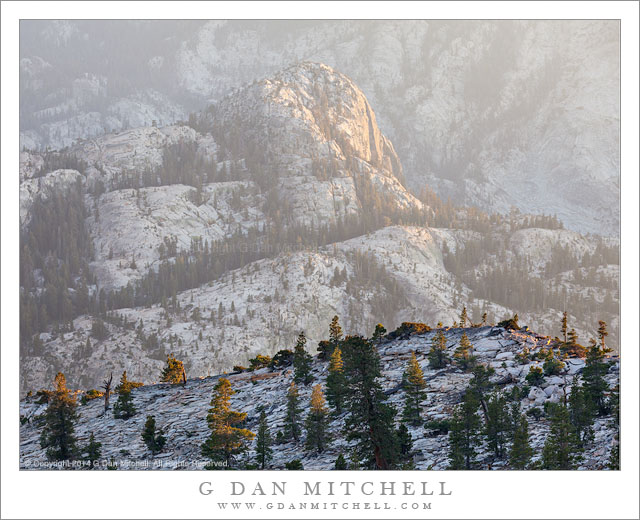
Looking through evening haze into the depths of a deep canyon of glaciated granite, Yosemite National Park
Near a lake in the Yosemite backcountry where we camped for five nights were many examples of the common Yosemite glacial granite slab terrain, with sparse trees and glacial erratic boulders on top of both broken granite and smooth glacial polish. The highest nearby area of this sort attracted us and we visited it many times in both morning and evening hours.
This area, which featured a couple of low domes separated by a saddle of broken granite, sat near the edge of a very large river canyon that leads away to the west. The photographic possibilities here could keep one busy for many days — even more than the 5 or so days we had to work here. In the evening the light of the setting sun shone up the length of the canyon, causing the atmosphere within to glow and lighting all sorts of domes and ridges within the canyon. Sitting at the edge of this huge open area we also had extensive views of further and higher mountains. On this evening I climbed to the top of one of the domes and pointed my camera down into the depths of this canyon, shooting across the top of a nearby ridge on which scattered trees were still in the last light.
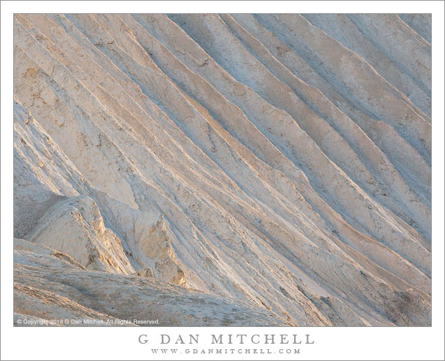
 G Dan Mitchell is a California photographer and visual opportunist whose subjects include the Pacific coast, redwood forests, central California oak/grasslands, the Sierra Nevada, California deserts, urban landscapes, night photography, and more.
Blog | About | Flickr | Twitter | Facebook | Google+ | 500px.com | LinkedIn | Email
Text, photographs, and other media are © Copyright G Dan Mitchell (or others when indicated) and are not in the public domain and may not be used on websites, blogs, or in other media without advance permission from G Dan Mitchell.