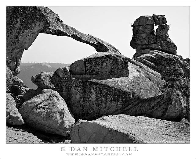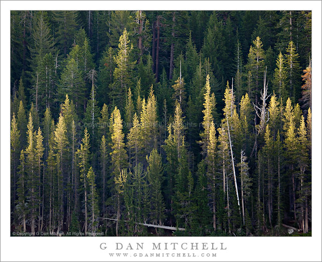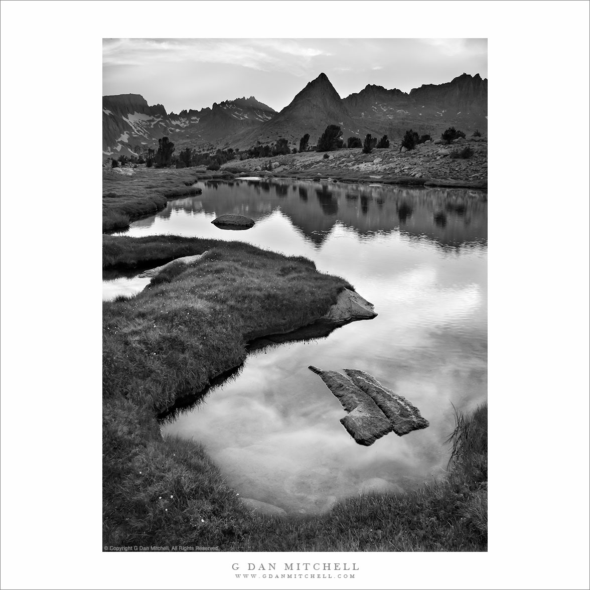
I don’t know quite what to say about this area of the Sierra located just east of the Great Western Divide in the upper reaches of the Kern River drainage – I’ve been very close to this place on many previous trips, but I never quite managed to hop the intervening ridge, even though I’ve thought vaguely about visiting this area for decades and I once passed through the lower reaches of it, more or less by accident and completely unaware of what was just upstream.
A group of us traveled over Kearsarge Pass (11,700’+) and Forrester Pass (13, 200′) to arrive in the upper Kern River drainage at Tyndall Creek along the JMT. (I think the general area is also known as the “bighorn plateau.”) I’ve been here on several previous occasions while heading to or circumnavigating Mt. Whitney. While I’ve gone east (to exit over the very rough Shepherd Pass at 12,000′) I’ve not really explored the western and norther parts of this area. Our general plan on this trip was to rectify that, specifically by visiting remote Lake South America. WE arrived there after wandering up a mosquito-infested valley, climbing its headwall, and then dropping to a lake just below the saddle. We originally planned to stay here overnight, but the very barren and rocky surroundings didn’t attract us, so we decided to head on to the west and south.
After a bit of a walk on a somewhat rough trail (which got much rougher later on) we arrived at a series of timberline lakes overlooking the Great Western Divide, which towered above us to the west. There is much I could say about this area, but I’ll limit myself to a few comments… and not name the specific location we visited. We finally found a sandy camping spot between a few lakes and tarns – it was surrounded by stunning alpine views ranging from the lakes themselves and the surrounding rocky meadows and clumps of trees to the jagged and high peaks to our west. The next morning we followed a very faint trail down the canyon, passing almost continuously through astonishing scenery featuring intimate, granite-surrounded meadows and small lakes.
I must go back. It won’t be easy. I’ll want to carry a bit more photography gear than I carried on this trip, and I’ll want to stay a day or two longer. And the location is two to three days from the nearest trailheads, all of which take you over some very high passes.
NOTE: This post was lightly edited in August 2026. Sadly, I have not made it back to this location in the intervening years.
COMMENT OR QUESTION? Scroll down to the comment form.
See the Sales page for information about licensing and print sales.
G Dan Mitchell is a California photographer and visual opportunist. His book, “California’s Fall Color: A Photographer’s Guide to Autumn in the Sierra” (Heyday Books) is available directly from him.
Blog | Bluesky | Mastodon | Substack Notes | Flickr | Email
All media © Copyright G Dan Mitchell and others.