Tag Archives: rocky

Unnamed Pond Near Blue Lake

Unnamed Pond Near Blue Lake

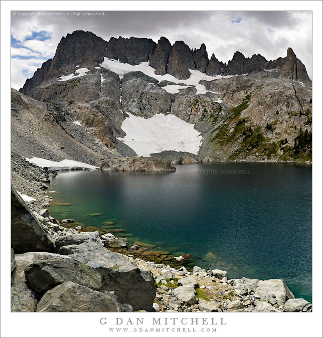
Unnamed Pond Near Blue Lake. Sabrina Basin, John Muir Wilderness, Sierra Nevada, California. August 6, 2009. © Copyright G Dan Mitchell – all rights reserved.

A small pond among rocks and forest on the trail above Blue Lake, John Muir Wilderness, Sierra Nevada.

This scene falls, I think, into the category of “typical Sierra Nevada scene.” Anyone who has backpacked into the higher portions of the range has walked past and perhaps stopped at many little ponds like this one. It is in a glacier-formed granite landscape of shallow soil, exposed smooth rock formations, and many rocks and boulders left behind by the glacier. Lush grasses grow around the pond for a few short weeks every summer and the peaks of the Sierra crest are just visible though the taller trees.

This small pond is along the trail between Blue Lake and Dingleberry Lake, not far from Blue Lake. The trail crosses the outlet stream and the skirts the far shore before heading on to higher terrain.

This photograph is not in the public domain. It may not be used on websites, blogs, or in any other media without explicit advance permission from G Dan Mitchell.

G Dan Mitchell Photography

keywords: blue, lake, pond, rock, boulder, flora, grass, meadow, log, tree, forest, grove, rocky, bush, shrub, shallow, runoff, seasonal, shore, bottom, reflection, morraine, glacial, mountain, ridge, sierra, nevada, crest, mount, haeckel, john, muir, wilderness, area, sabrina, lake, basin, trail, high, california, usa, blue, sky, clouds, landscape, nature, scenic, travel, nature, hike, backpack, camp, lodgepole, tamarack, pine, snow

Iceberg Lake, Minarets

Iceberg Lake, Minarets

Iceberg Lake, Minarets. Sierra Nevada Mountains, California. July 27, 2007. © Copyright 2007  G Dan Mitchell – all rights reserved.

Submerged boulders along the rocky alpine shoreline of Iceberg Lake in front of the spires of the Minarets as afternoon thunderclouds begin to build.

This is an older photograph that I’ve been thinking of working on and posting for some time. Two summers ago in late July I was on a backpack trip into Ediza Lake and then on to Garnett and Thousand Island. We spent a few nights a beautiful Lake Ediza and on one of the layover mornings I decided to wander on up to Iceberg Lake. Iceberg Lake (along with Cecile Lake) is located along a high and almost cross-country route between Ediza and Minarets Lakes, and it passes very close beneath the east side of the imposing ridge of the Minarets. I made it as far as Iceberg when I noticed that that the thunderclouds were already building quickly at noon – so I stopped for a few photographs before high-tailing it back down to camp. (I almost made it back before the rain and hail started! :-)

My history with this lake goes back to some earlier trips as well. Many years ago I decided to do a sol0 backpack trip beneath the Minarets, comprising a loop up to Minaret Lake, then up into the rough country above the lake, across it, and down past Iceberg Lake to Ediza Lake. (I have been to the latter lake many times!) It was, as I recall, early in a season that was a reasonably snowy one. When I picked up my permit the range tried to warn me of the dangers of crossing while there was still a lot of snow in a few spots, but being younger than I am now and foolish in very different ways, I decided to ignore him. The climb above Minaret Lake went well, once I found a route through rocks that went up to the right. I had a small accident that left some scars that I still bear—I stepped into a hole between rocks and managed to bang up one leg a bit. I continued on and eventually found myself at the top of the saddle at the upper left corner of this photograph, looking down at a very steep slope that was covered with snow that dropped right into the lake. I was without any of the aids to mountain travelers that might have come in handy here such as trekking poles (didn’t use them back in those days), an ice ax, or crampons. I found a small piece of wood that I might use for an emergency self arrest—or so I imagined— and stepped gingerly down this slope.

G Dan Mitchell is a California photographer and visual opportunist whose subjects include the Pacific coast, redwood forests, central California oak/grasslands, the Sierra Nevada, California deserts, urban landscapes, night photography, and more.
Blog | About | Flickr | Twitter | FacebookGoogle+ | 500px.com | LinkedIn | Email

Text, photographs, and other media are © Copyright G Dan Mitchell (or others when indicated) and are not in the public domain and may not be used on websites, blogs, or in other media without advance permission from G Dan Mitchell.

Rocky Inlet and Surf

Rocky Inlet and Surf

Rocky Inlet and Surf. Point Lobos State Reserve, California. April 26, 2009. © Copyright G Dan Mitchell – all rights reserved.

Surf washes through a rocky inlet at Point Lobos State Reserve, California.

Yes, yet another photograph from the Day of No Tourists at Point Lobos in late April – when almost no one was there due to the closure of Highway One for the Big Sur Marathon. This little inlet/cove is not far from where I photographed the harbor seal family. I’m pretty certain I’ve visited this exact feature before, but this is the first time I’ve tried to photograph it. (I have photographed some very nearby features – they are actually visible from the same camera position.) The light was very flat – it was overcast and gray from fog – and the colors of these particular rocks did not look like they would work well in a color image, so I decided to go with black and white here. The use of a rather dark neutral density filter – that’s what allowed the long exposure – also alters to color balance in some odd ways. I made several exposures of this spot since it is virtually impossible to predict just how a long exposure of water will turn out.

This photograph is not in the public domain. It may not be used on websites, blogs, or in any other media without explicit advance permission from G Dan Mitchell.

keywords: point, lobos, california, usa, spring, monterey, peninsula, carmel, coast, pacific, state, reserve, park, nature, rocks, wave, surf, pattern, time, long, exposure, ocean, black and white, monochrome, diffused, blur, inlet, rocky, stock

Parsons Peak and Tarn, Sunset

Parsons Peak and Tarn, Sunset

Parsons Peak and Tarn, Sunset. Yosemite National Park, California. September 7, 2008. © Copyright G Dan Mitchell – all rights reserved.

Alpenglow from sunset on Parsons Peak and surrounding rocky slopes reflected in a small rocky alpine tarn in an alpine meadow above Townsley Lake, Yosemite National Park, California.

I photographed this small tarn at the end of the plateau above Townsley Lake right at sunset as the Sierra alpenglow began to appear on the nearby ridges and higher Parsons Peak. I’ve visited this small pond many times on the walk between Townsley and Ireland Lakes, but this was the first time I managed to be there right at sunset. (I “paid for” the experience with a dark walk back to camp and a dinner by the light of my headlamp. ;-)

(I’ve written a bit about how I get to and across this plateau here.)

keywords: parsons, peak, ridge, mountain, slope, reflection, rock, rocky, boulder, tarn, pond, lake, alpine, meadow, grass, sand, townsley, yosemite, national park, california, usa, landscape, sunset, twilight, alpenglow, wilderness, hike, backpack, stock, forest