Tag Archives: edge

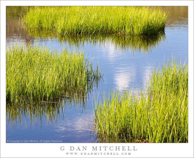
Shoreline Grasses and Subalpine Pond

Shoreline Grasses and Subalpine Pond

Shoreline Grasses and Subalpine Pond. Yosemite National Park, California. July 22, 2010. © Copyright G Dan Mitchell – all rights reserved.

Passing clouds reflected in the surface of a subalpine pond with summer meadow grass, Tioga Pass, Yosemite National Park.

I made this photograph on a special afternoon late last July. Although I had been across Tioga Pass earlier in the season when it was still very snowy, this was my first real visit to the summer high country of the season. It was a beautiful, sunny afternoon with just a few fluffy clouds floating about when I came to the meadows near Tioga Pass. The color of the meadow grasses was at just that perfect point that we think of when we imagine summer subalpine meadows – the intense green just before the wildflowers bloom and the inevitable change toward fall begins. (Yes, after some summers in the high country this cycle becomes clearer and clearer.)

I left my car, loaded up a pack of camera equipment, and just wandered the meadow for a good portion of the late afternoon, photographing the grass, the small trees, brooks and snow-melt ponds, and more. By sauntering about with no particular destination in mind I was able to “follow my nose” and find things that I had not seen in this meadow before, including more ponds than I had been aware of. These grasses were growing along the edge of an obscure pond with a complex and curving shoreline, and I photographed them as a few of those small clouds floated by.

G Dan Mitchell Photography | Flickr | Twitter (follow me) | Facebook (“Like” my page) | LinkedIn | Email
Text, photographs, and other media are © Copyright G Dan Mitchell (or others when indicated) and are not in the public domain and may not be used on websites, blogs, or in other media without advance permission from G Dan Mitchell.

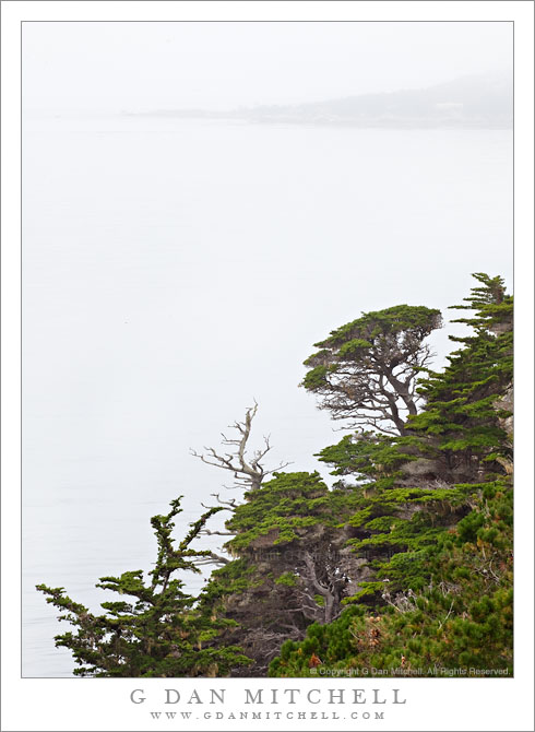
Monterey Cypress Trees, Fog, Carmel Peninsula

Monterey Cypress Trees, Fog, Carmel Peninsula

Monterey Cypress Trees, Fog, Carmel Peninsula. Point Lobos State Reserve, California. July 10, 2010. © Copyright G Dan Mitchell – all rights reserved.

Carmel Peninsula is barely visible though fog beyond Monterey Cypress trees along the north shore of Point Lobos State Reserve.

This was a typical summer day in coastal California – completely socked in by a thick, gray blanket of cold, wet fog! The light was somewhat dismal, so it wasn’t a day for typical “scenic” landscape or seascape photography, though the colors of the plants and trees were saturated by the soft light and the distant peninsula faded almost to monochrome though the fog across the bay.

These Monterey cypress trees grow along the tops of the rocky cliffs above this part of the Pacific Ocean, in some of the most exposed and precipitous locations imaginable. In some spots they are left exposed to the full force of the ocean winds and winter storms, and they grow close to the ground, following the contours of the rocky terrain in ways that remind me of trees growing in exposed locations near timberline in the Sierra. In other spots they are a bit more sheltered and they seem to be able to “stretch out” a bit, as these trees do along a section of the rocky cliffs that faces more into the bay than out to sea.

The bay holds the outlet of the Carmel River, and the peninsula visible across the water in the distance is the coastline of the town of Carmel. The foreground trees are within the boundaries of the Point Lobos State Reserve.

G Dan Mitchell Photography | Flickr | Twitter | Facebook | Email
Text, photographs, and other media are © Copyright G Dan Mitchell (or others when indicated) and are not in the public domain and may not be used on websites, blogs, or in other media without advance permission from G Dan Mitchell.
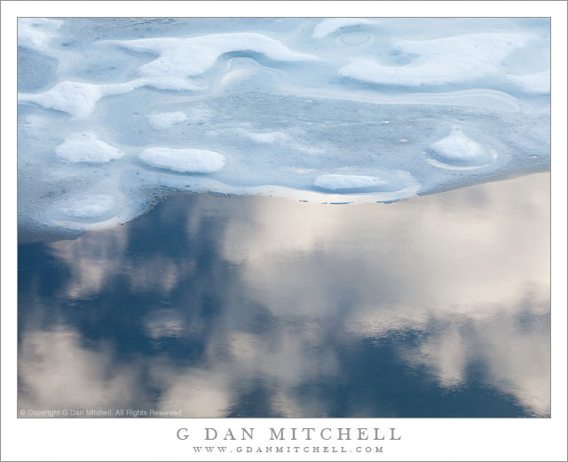
Ice, Water, Reflected Clouds

Ice, Water, Reflected Clouds

Ice, Water, Reflected Clouds. Yosemite National Park, California. June 29, 2010. © Copyright G Dan Mitchell – all rights reserved.

Clouds in blue sky are reflected in the surface of Gaylor Lake next to melting winter ice.

This photograph is very similar to another I made on this late June evening in 2010 when a small group of us hiked over a ridge near Tioga Pass to find a snow covered valley and this lake that was still almost completely covered with ice. The deep blue water near the edge of the melting ice along the shoreline reflected evening clouds passing overhead, and there were quite a few possible compositions combining the clouds, blue sky, curving edge of the ice and the interesting formations where the ice surface was melting. I made quite a few photographs – some up close like this one and others taking in the larger landscape. As I was recently reviewing raw files from 2010, I ended up spending quite a bit of time with this set of images!

G Dan Mitchell Photography | Flickr | Twitter | Facebook | Email
Text, photographs, and other media are © Copyright G Dan Mitchell (or others when indicated) and are not in the public domain and may not be used on websites, blogs, or in other media without advance permission from G Dan Mitchell.
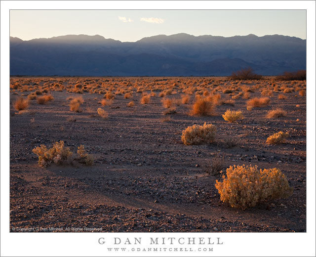
Last Light on Desert Plants, Death Valley

Last Light on Desert Plants, Death Valley

Last Light on Desert Plants, Death Valley. Death Valley National Park, California. February 20, 2011. © Copyright G Dan Mitchell – all rights reserved.

The last light of a winter day lights the plants at the edge of a wash in Death Valley National Park, California.

On this afternoon I drove a bit up the east side of the Valley past the turnoff to Beatty looking for subjects to shoot along the hills that parallel the valley. I did not initially have a specific shot in mind, since this isn’t an area that I know very well – I’ve mostly driven past it on my way to some other place. I was generally thinking of a couple of possibilities. One was an early evening photograph looking up into one of the very large canyons, probably include the massive washes that spill out of them and aiming for a very rugged looking image. I looked for a few such places and played around a bit with the idea of shooting one or two, but it wasn’t quite working for me.

I have included some low hills along this area called, I believe, the Kit Fox Hills, in some photographs that I have made of this area from way over near Mesquite Dunes. These hills which sit just above the road toward Scotty’s Castle have intrigued me, so I had also looked at them. As I passed them earlier in the afternoon I made a mental note to come back and check out one particular spot in better light, and when the canyon idea didn’t seem to work out I decided to head back there. I was probably a bit late in settling on this subject, but I arrived while the sun was still (just barely) above the tops of the ridges on the opposite side of the Valley. I grabbed equipment and went to a spot where I thought I could use a particular mesquite plant as foreground to a shot of these low hills, but then this backlit expanse of the floor of the Valley filled with these small, rugged plants caught my attention. I decide to photograph them before turning my attention back to the mesquite and hills. As I shot a few frames the sun began to drop behind the far hills much sooner than I expected, and this was close to the last photograph I made before I was in shadow.

All seriousness aside, someone just suggested that an alternate title for this photograph might be “Sea of Tribbles!” ;-)

G Dan Mitchell Photography | Flickr | Twitter | Facebook | Email
Text, photographs, and other media are © Copyright G Dan Mitchell (or others when indicated) and are not in the public domain and may not be used on websites, blogs, or in other media without advance permission from G Dan Mitchell.