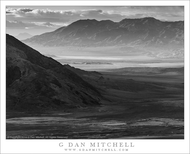
Desert Morning, Light and Shadow. Death Valley National Park, California. April 2, 2014. © Copyright 2014 G Dan Mitchell – all rights reserved.
Morning light and shadows play across the immense landscape of southern Death Valley as storm clouds build.
This photograph reminds me of the immense scale of the Death Valley landscape. Photographed from high in the Panamint Range very early on a morning when a storm was building—it would later snow in our location—the contrast between the cloud-shadowed foreground and the early morning light in the distant valley emphasizes the vast distances in the scene. The light began closing down essentially right at dawn as the clouds of a Pacific weather front came in from the west behind us. (As I made this photograph light snow was falling on the ridge above and behind my position.) The dark clouds building over our position along the crest of the Panamint Range were beginning to extend out over the Valley and build over each of the ranges extending into the distance.
As I made this photograph the main portion of Death Valley, below us to the left and extending into the lower part of the frame here, had fallen into shadow, along with the range of mountains running along its eastern edge. The clouds had not yet worked their way to the south, and where the Valley turns toward the east there was early morning sunlight still spilling into the lower section of the Valley and lighting distant mountains and arid salt flats and atmospheric haze. Even further in the distance some thickening clouds are visible above a single very distant peak.
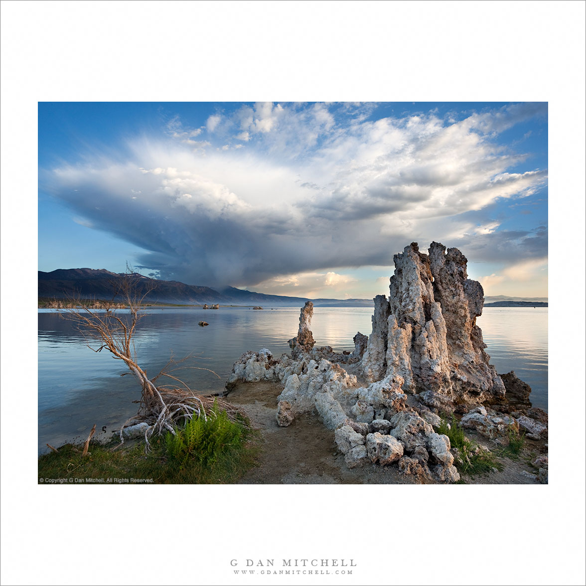
 G Dan Mitchell is a California photographer and visual opportunist whose subjects include the Pacific coast, redwood forests, central California oak/grasslands, the Sierra Nevada, California deserts, urban landscapes, night photography, and more.
Blog | About | Flickr | Twitter | Facebook | Google+ | 500px.com | LinkedIn | Email
Text, photographs, and other media are © Copyright G Dan Mitchell (or others when indicated) and are not in the public domain and may not be used on websites, blogs, or in other media without advance permission from G Dan Mitchell.