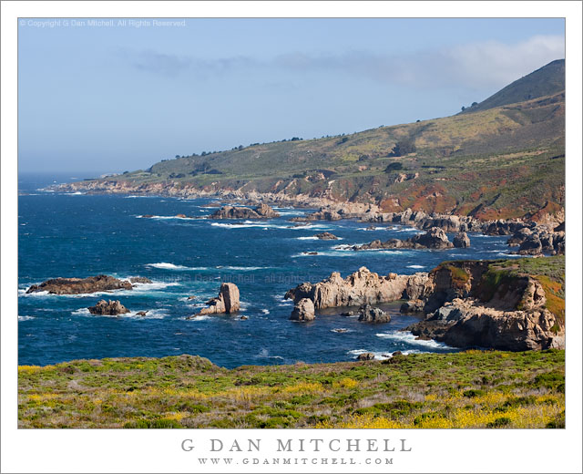
A sunny spring morning along the Big Sur Coast at Soberanes Creek, with fog above the coastal mountains.
This is a spot that is probably familiar to many who have driven down this section of the Big Sur coastline south of Monterey and Carmel, California. To the right, and out of the photograph, is Soberanes Canyon which ascends steeply toward the ridges above Pacific Ocean. A creek flows down the canyon, underneath the coast highway, and then into the ocean.
The foreground bluff looks inviting with its green color and spring flowers. However, I picked up one of the worst cases of poison oak I’ve had on one occasion when I walked across this meadow to photograph the sea stacks and coastline at dusk!
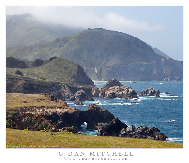
Bluff, cliffs, seastacks, and fog-shrouded coastal hills along the Big Sur coastline of California.
The bridge in the distance beneath the rounded, fog-topped hill is the Rocky Creek Bridge. (It is sometimes mistaken for the famous Bixby Bridge, which is a bit further south along the coast highway.) I’m very familiar with this area, having photographed from here many times. In fact, later on this morning I was up in the hills beyond the hilltop home while investigating a gravel road that heads back up into the mountains here.
I wanted to juxtapose a range of near and far bits of the bluffs above the shoreline cliffs in this scene. While the coastal meadows will turn brown very soon, on this mid-May date and in this relatively wet year they were still green. The coast highway travels along the upper part of the bluffs, often between the cliffs and the hills rising above. Beyond the bridge you can see the roadway rise to pass around another hill before descending toward the next creek to the south.
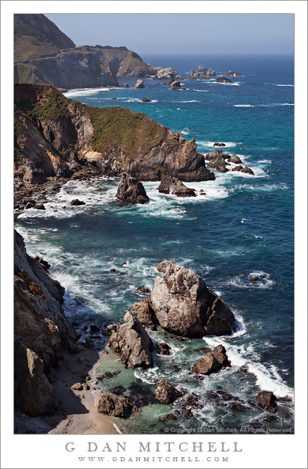
Sea stacks line the rugged California Big Sur coastline below the Pacific Coast Highway.
I had some free time on Friday morning, so I decided to head over to the coast below Monterey. I had some discussions with someone earlier this week about photographs featuring coastal fog and hills, and I think that may be what planted the idea in my mind, though it turned out that conditions were not quite ideal for that particular sort of thing. However, it was a beautiful spring morning along the Big Sur coast, with the bright sun somewhat modulated by some atmospheric haze and a bit of fog here and there along ridge tops.
For those who may not have heard, driving this section of the Coast Highway is a bit tricky right now due to washouts and closures. I had to wait for a pilot vehicle to lead scores of us through one large section, and in another spot the road was reduced to a single lane by a large landslide. I understand that further south the road is actually closed completely, necessitating an inland detour.
The unusual traffic situation did create one advantage for me, however. Usually there is enough traffic on this famous route that driving along at very slow speeds annoys other drivers – so I sometimes have to keep going right past places I might otherwise want to stop and investigate. However, yesterday I quickly figured out that with 20-30 minutes between waves of traffic as the road opened and closed, all I had to do was pull over after passing one of the blockages, wait for the other cars to pass, and then drive in a more leisurely way with plenty of opportunities to stop.
So as I drove past this area that I had not really looked at closely in the past – it is between a couple of other spots that I know well – I was able to drive slowly, pull over to look more carefully, backtrack, and generally get to see it more than in the past. I first pulled off near this spot simply to turn around to go back and check a spot I had just passed. As I did so I noticed a painter packing up his gear. I did my “turn around,” looked at the spot I had passed, decided it wasn’t promising after all… and came right back to the spot where I had seen the painter. A short trail led down to the edge of the bluff and provided this view along the coast to the south.
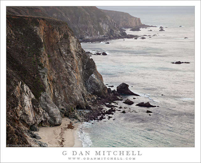
Light winter rain falls on the rugged Big Sur coastline near Bixby Creek.
This is one more – and perhaps the final – photograph from New Years Day 2011 along the Big Sur coast line. While this is perhaps not your chamber of commerce picture perfect day, it is my kind of Big Sur day. As I made the photograph the wind was absolutely howling – so strong that I couldn’t really use my tripod, so I instead hand held the camera and braced it and myself against a very large boulder. To make things even more “fun,” it was trying very hard to rain!
The location is precisely at the spot where many of the iconic photographs of Bixby Bridge are made, at the north end of the bridge. However, on this day I thought that the subdued tones of the winter ocean and cliffs were more interesting, so I framed my photographs to avoid including the bridge.
This photograph is not in the public domain and may not be used on websites, blogs, or in other media without advance permission from G Dan Mitchell.
Photographer and visual opportunist. Daily photos since 2005, plus articles, reviews, news, and ideas.
Manage Consent
To provide the best experiences, we use technologies like cookies to store and/or access device information. Consenting to these technologies will allow us to process data such as browsing behavior or unique IDs on this site. Not consenting or withdrawing consent, may adversely affect certain features and functions.
Functional
Always active
The technical storage or access is strictly necessary for the legitimate purpose of enabling the use of a specific service explicitly requested by the subscriber or user, or for the sole purpose of carrying out the transmission of a communication over an electronic communications network.
Preferences
The technical storage or access is necessary for the legitimate purpose of storing preferences that are not requested by the subscriber or user.
Statistics
The technical storage or access that is used exclusively for statistical purposes.The technical storage or access that is used exclusively for anonymous statistical purposes. Without a subpoena, voluntary compliance on the part of your Internet Service Provider, or additional records from a third party, information stored or retrieved for this purpose alone cannot usually be used to identify you.
Marketing
The technical storage or access is required to create user profiles to send advertising, or to track the user on a website or across several websites for similar marketing purposes.